


About this print
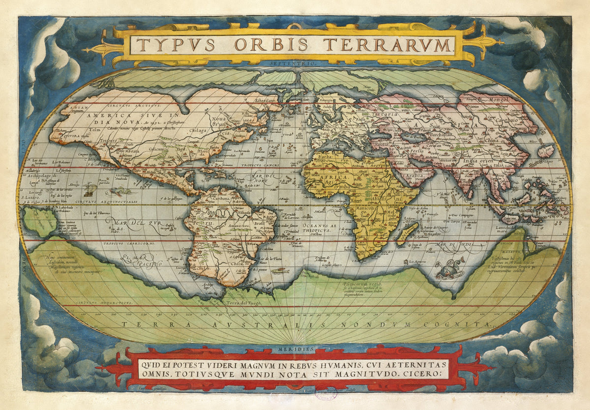
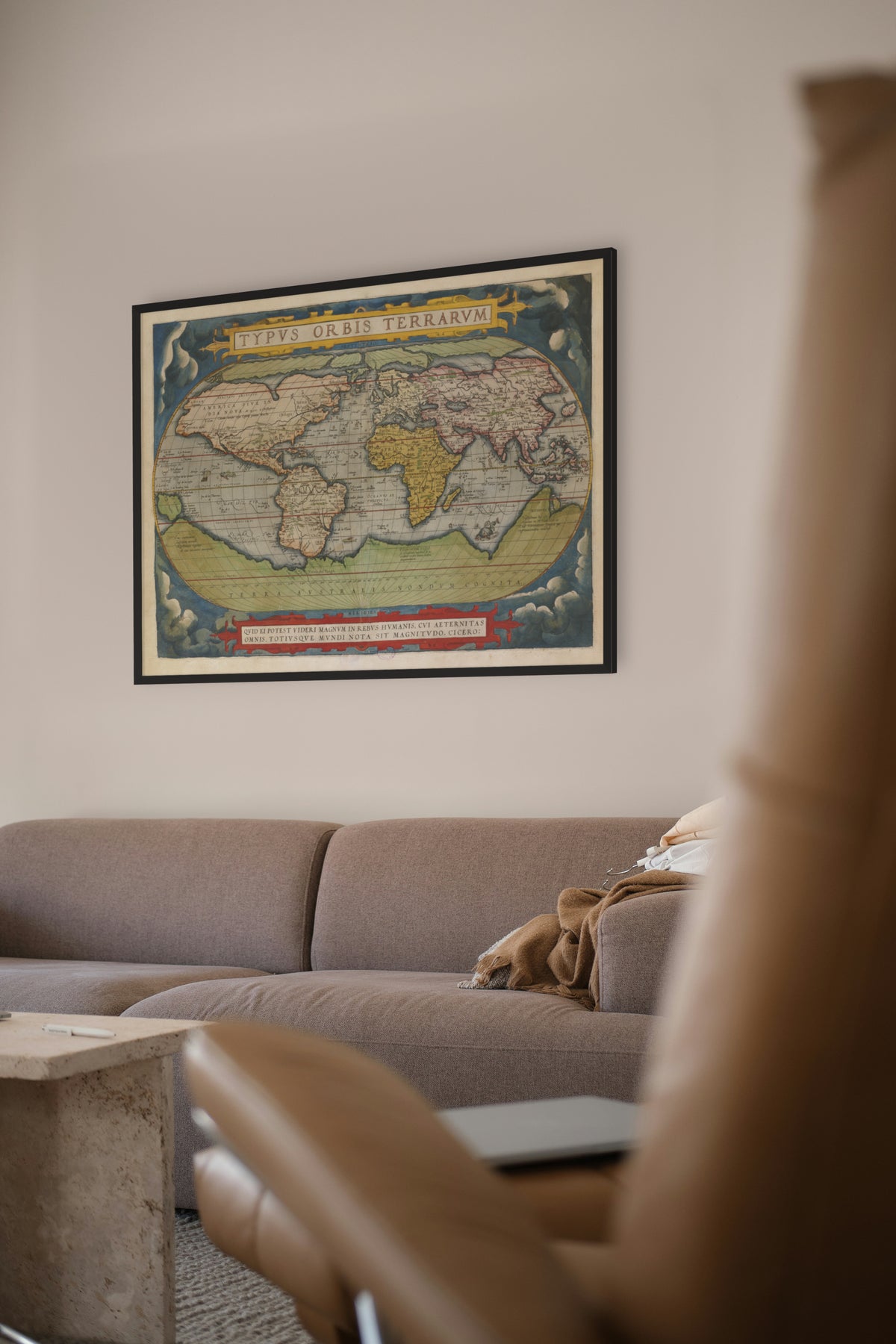
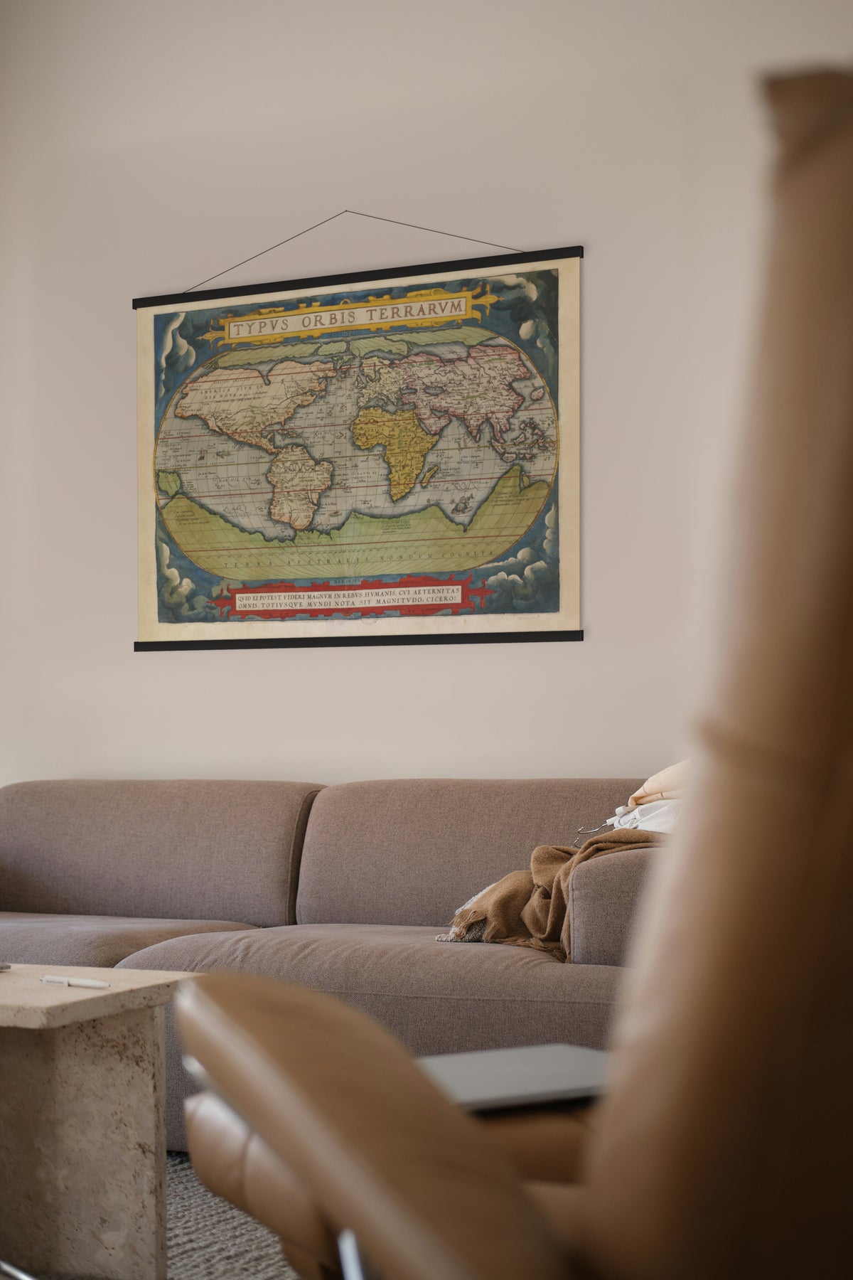
Typus Orbis Terrarum — Abraham Ortelius, Antwerp, 1570.
The world map from the first modern atlas, the Theatrum Orbis Terrarum, with the great unknown southern continent filling the bottom of the sheet.
Abraham Ortelius (1527–1598) of Antwerp had coloured maps since his youth and knew the map trade well, but he made few maps himself. For the Theatrum Orbis Terrarum, first printed in Antwerp on 20 May 1570, he gathered existing maps and named the 33 mapmakers whose work he used. His world map rests chiefly on Gerardus Mercator's world map of 1569, with Giacomo Gastaldi's of 1561.
The Theatrum was reissued until 1612: more than 7,300 copies in 31 editions and seven languages, printed from 1579 by Christophe Plantin's press in Antwerp. This sheet is from the first of the world map's three copperplates; the third, engraved in 1587, entered the atlas in 1592.
Original held by the Norman B. Leventhal Map & Education Center, Boston Public Library. Restored by Limner from the library's scan; nothing redrawn.
Look closer
-

The unknown southern land
A continent drawn on faith: "Terra Australis nondum cognita", southern land not yet known. Tierra del Fuego is its northern shore, until Le Maire and Schouten sailed round Cape Horn in 1616 and showed it was an island.
-

Island or continent?
The mapmaker admits he does not know: a note beside New Guinea says it is uncertain whether it is an island or part of the southern continent. Luis Váez de Torres sailed between the two in 1606, but his report stayed in Spanish files until the 1760s.
-

South America's bulge
Chile bulges far out into the Pacific — a mistake Ortelius fixed when he re-engraved his world map in 1587, so the bulge marks the early plate.