


About this print
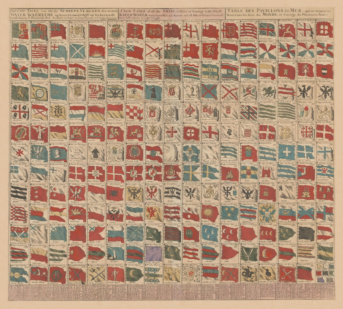
Nieuwe Tafel van alle de Scheeps Vlaggen des Gehele Water-Waerelds, I. Hasebroek, Amsterdam, early 1700s.
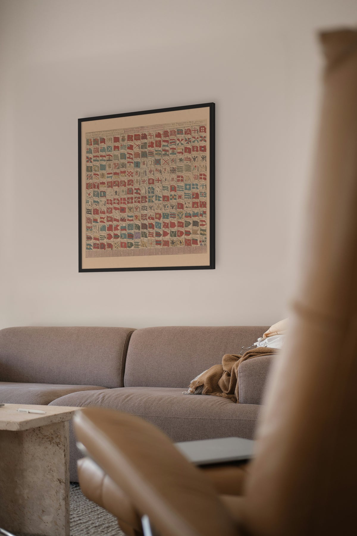
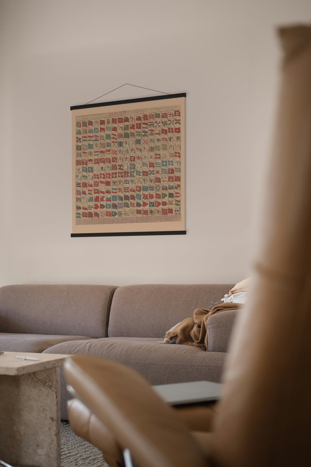
A hand-coloured table of 220 ships' flags, numbered and named, under a title in Dutch, English and French: "A New Table of all the Ships, Collors or Ensings in the Wholl Water World".
Flags at sea were far less fixed then than now, and a sailor needed to know a ship's country and business at a glance. The table runs from the royal flags of England, the Dutch provinces and towns, Spain, Portugal and the Italian states, through the Baltic and Russia, to the Turks, the Barbary corsairs of Algiers, Tunis, Tripoli and Salé, Persia, the Great Mogul and China. A French key along the bottom names every flag.
The Rijksmuseum dates the sheet to the late 1600s, but the first flag on it is King George's, so this issue cannot be earlier than George I came to the throne in 1714. Hasebroek describes himself on it as a bookseller, sea-chart seller and maker of navigational instruments in the Nieuwebrugsteeg, Amsterdam.
Original held by the Rijksmuseum, Amsterdam. Restored by Limner from the museum's scan; nothing redrawn.