


About this print
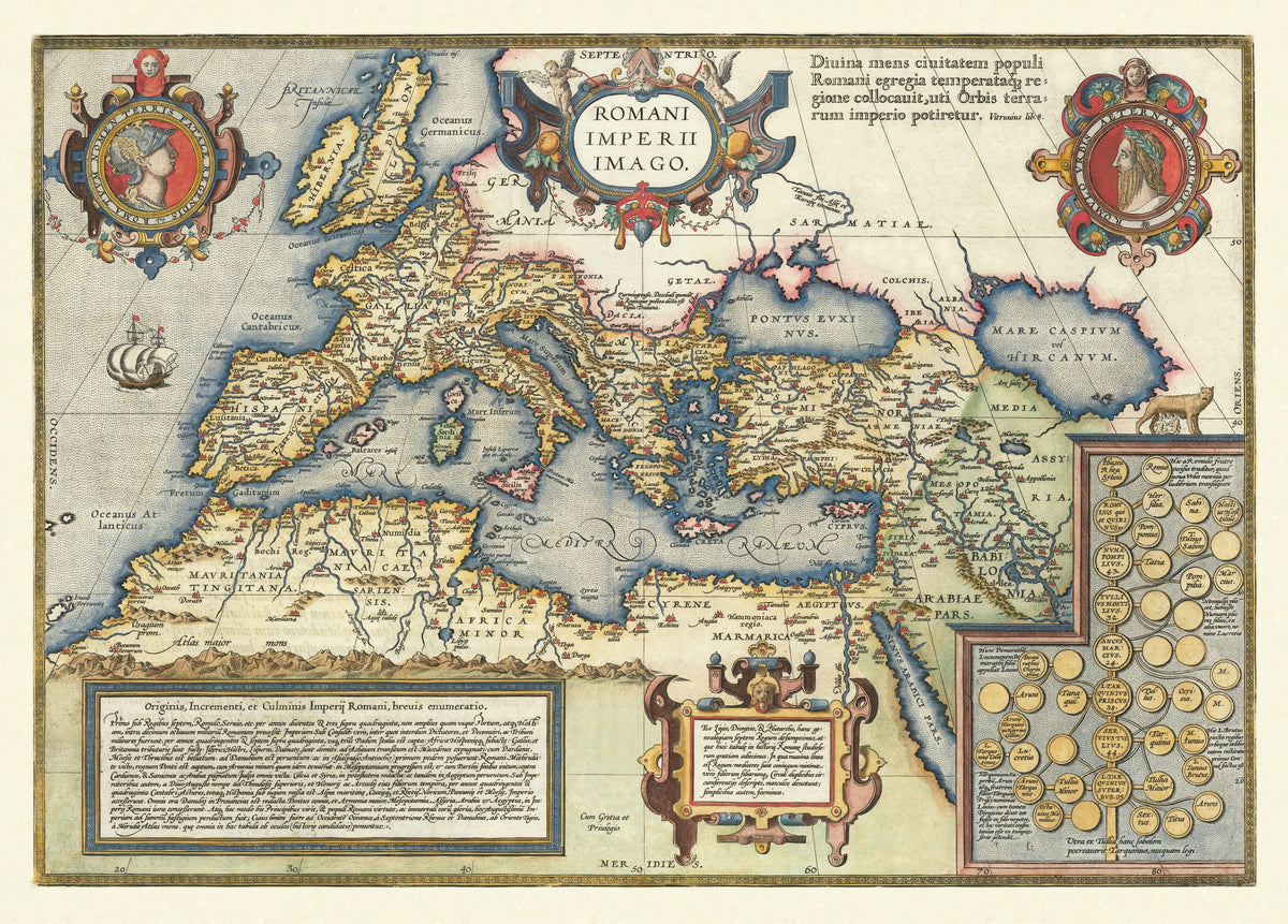
Romani Imperii Imago — Abraham Ortelius, Antwerp, from the Parergon; this issue 1603.
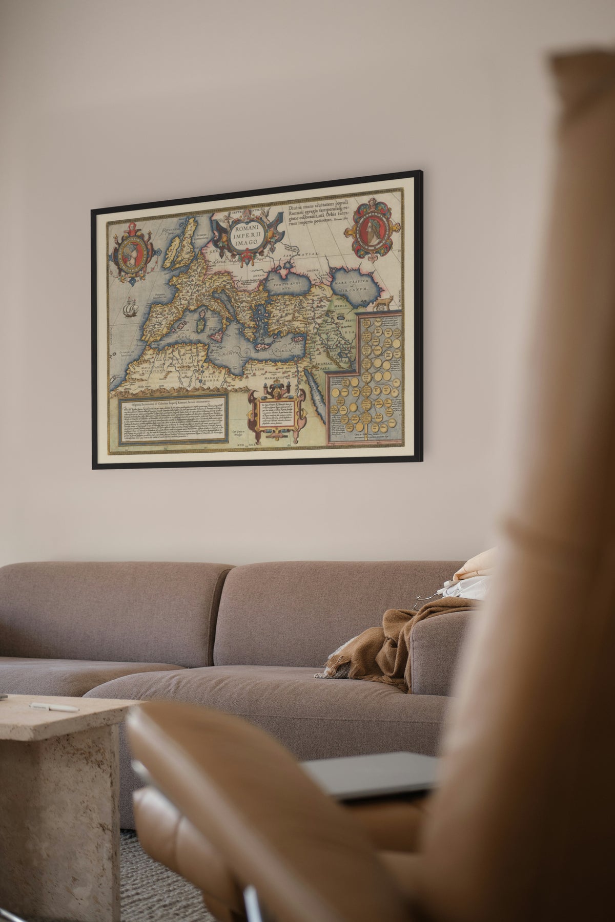
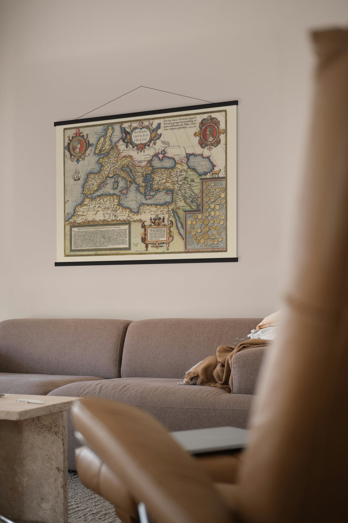
The Roman Empire from Britain to the Tigris, hand-coloured, with a history of Rome and a family tree of its kings set into the sea and desert.
Abraham Ortelius (1527–1598) of Antwerp published the first modern atlas, the Theatrum Orbis Terrarum, in 1570. His own passion was the ancient world. From 1579 he added the Parergon, maps of classical history that he drew himself, now counted as the first historical atlas. This map of the Empire was among the first of them.
Two portrait medallions flank the title. Panels at the foot tell, in Latin, how the Empire rose from Rome's seven kings to its height, beside a genealogy of the royal line watched over by the she-wolf. A line from Vitruvius at top right marks this as the second state of the plate.
Restored by Limner from a scan of an original copy; nothing redrawn.