


About this print
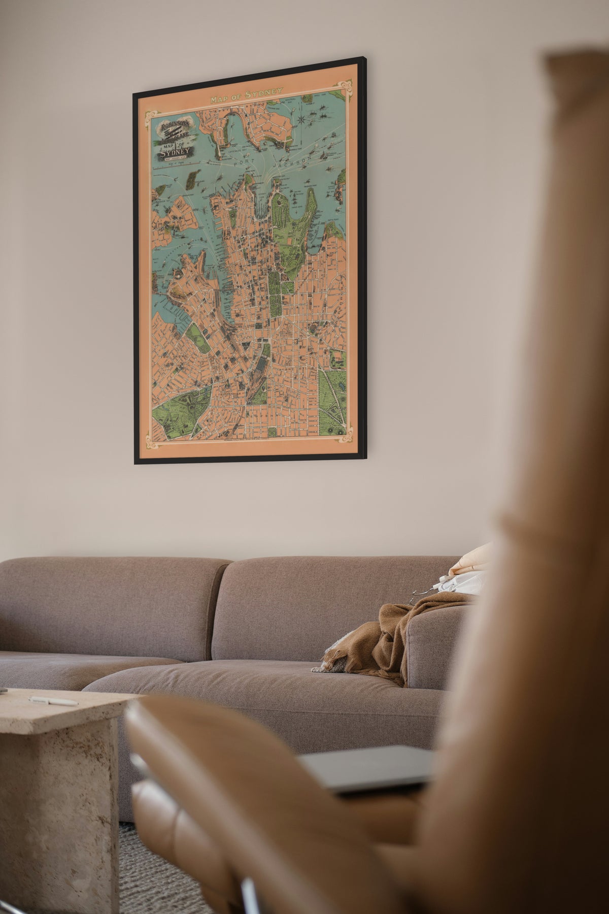
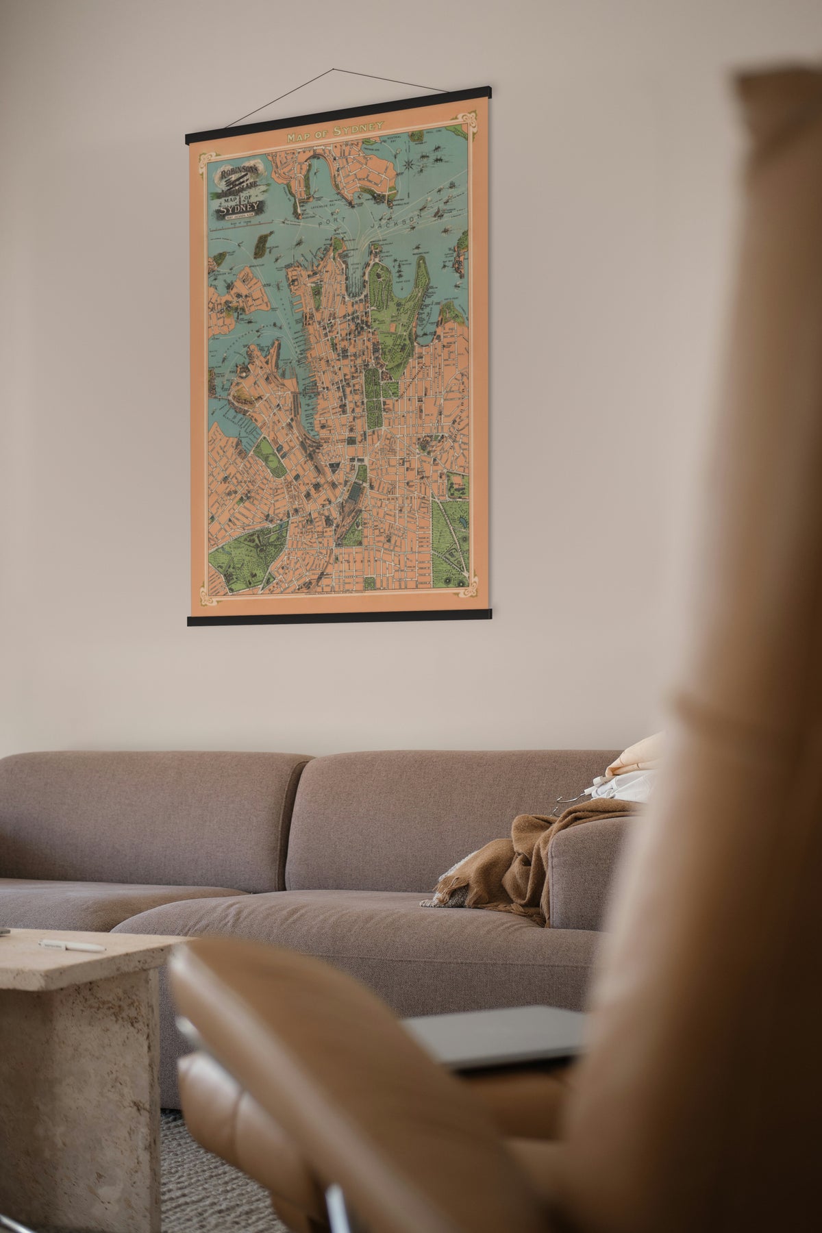
Robinson's Aeroplane Map of Sydney — H. E. C. Robinson, 41 Phillip Street, Sydney, 1909.
Sydney drawn as if seen from an aeroplane: the streets, wharves and ferry routes from Balmain to Woolloomooloo, and the harbour full of steamers and sailing ships.
Sydney's waterfront was being rebuilt when this map was made. The new Sydney Harbour Trust was replacing the old private wharves, and work on the large finger wharves at Walsh Bay began in 1909.
H. E. C. Robinson had published maps in Sydney since 1882, and under his own name from 1895. The Library of Congress dates this sheet to about 1909 from the wharves it shows under construction between Millers Point and the gasworks, and the absence of the finger wharf completed in 1915.
Restored by Limner from a scan of an original copy; nothing redrawn.