



About this print
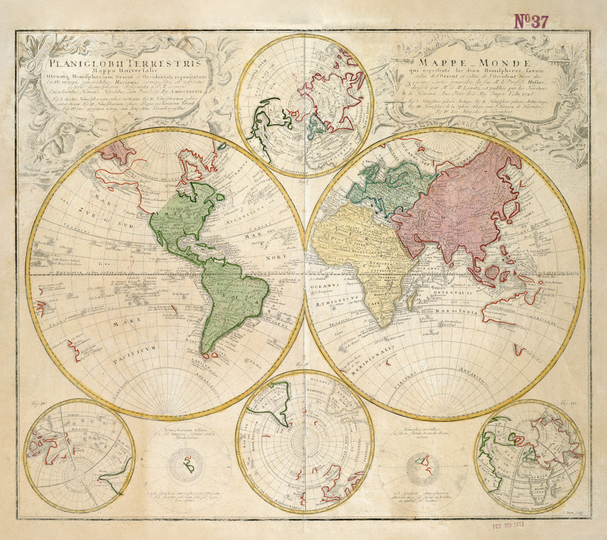
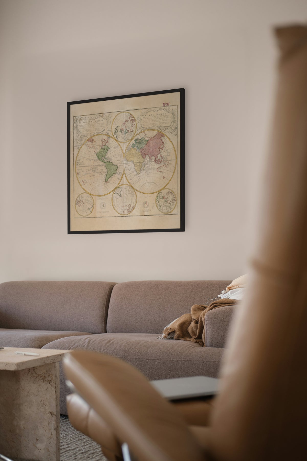
Planiglobii Terrestris Mappa Universalis — Homann Heirs (J. M. Hase and G. M. Lowitz), Nuremberg, 1746.
Two hemispheres with six smaller globe views around them — the eighteenth century's tidy answer to the Dutch baroque.
Johann Baptist Homann founded his Nuremberg map house in 1702 and was made Imperial Geographer in 1715. After his death in 1724 the firm traded as Homann Heirs, lasting until 1852. By the 1740s it drew on university men: Johann Matthias Hase, professor of mathematics at Wittenberg from 1720, compiled maps for it, and Georg Moritz Lowitz began there as a map draughtsman and became a partner.
Hase, the compiler, died in 1742, four years before this map was issued. Lowitz, its draughtsman, became professor of practical mathematics at Göttingen in 1754 and joined the St Petersburg Academy in 1767. He observed the 1769 transit of Venus and was killed by Pugachev's rebels in 1774 while surveying the Volga.
Original held by the Norman B. Leventhal Map & Education Center, Boston Public Library. Restored by Limner from the library's scan; nothing redrawn.
Look closer
-

Russian Alaska
Alaska five years after Bering and Chirikov reached it in 1741: "Littora Americana Russica", the Russian-American shore. Russia would hold it for another 121 years before selling it to the United States in 1867.
-

Nova Hollandia
Australia with no east coast — Cook would not chart it for another 24 years. The west, north and part of the south are traced from Dutch voyages, and Tasmania is a stray fragment, "Terra Diemen".