


About this print
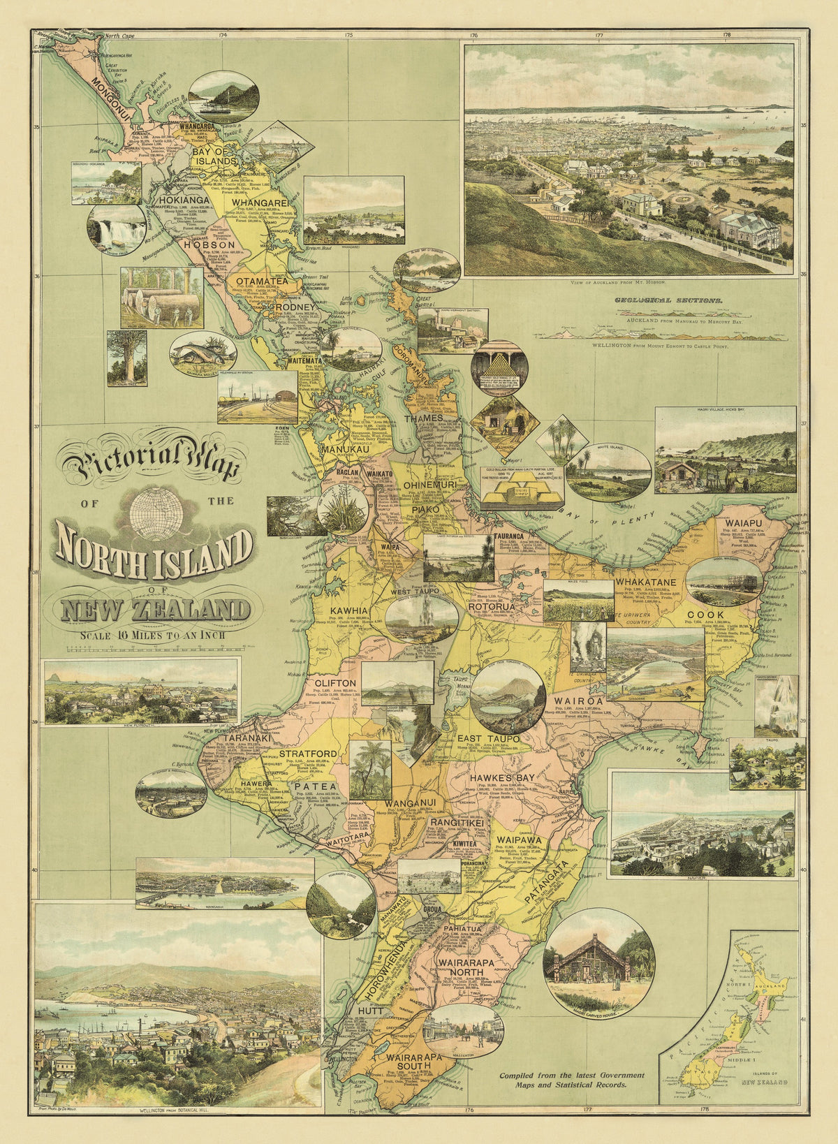
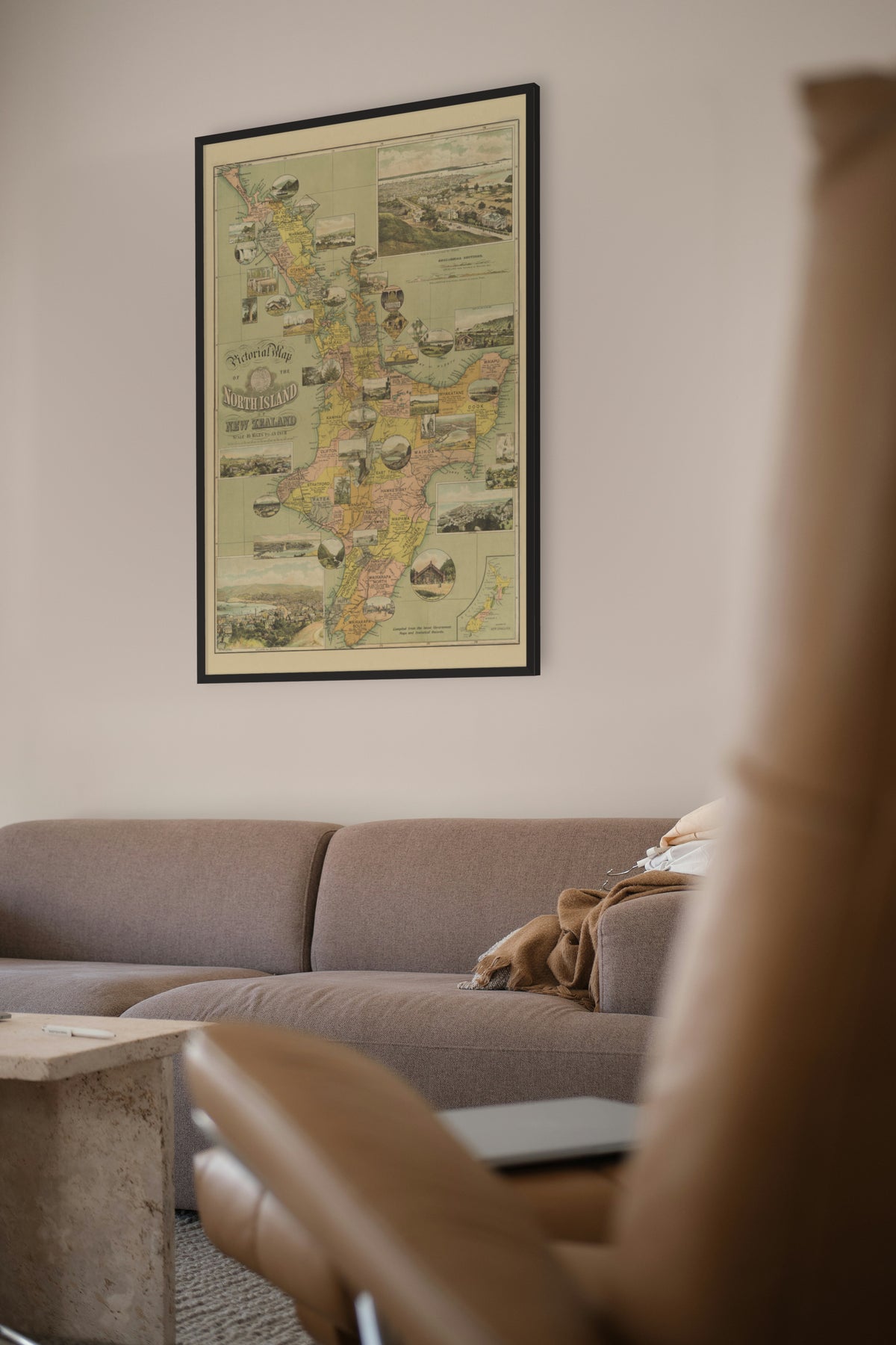
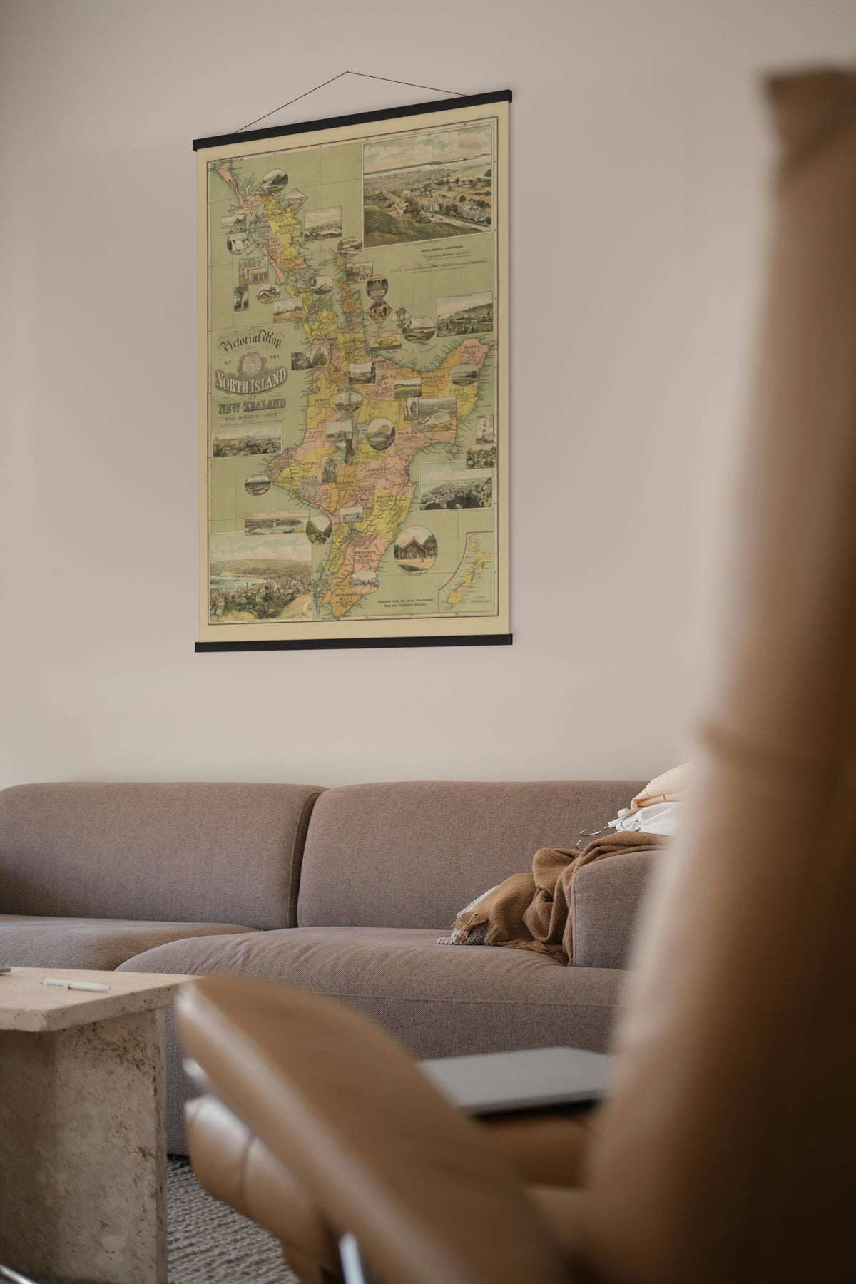
Pictorial Map of the North Island of New Zealand, New Zealand Graphic and Star Printing Works, Auckland, about 1898.
The North Island framed by pictures of its towns and scenic places, with geological sections and figures for area, population and farming.
It was issued as a supplement to the Christmas number of the New Zealand Graphic, and says it was compiled from the latest government maps and statistical records. The National Library of New Zealand dates it, with a query, to 1898. Mountains are shown by hachures and spot heights, and the scale is about 1:1,000,000, the same as its South Island companion.
The New Zealand Graphic was an illustrated weekly founded in Auckland in May 1890 by Henry Brett, owner of the Evening Star, who used it to bring photo-engraving to New Zealand. It was merged into the Auckland Weekly News in June 1913.
Its companion is the Pictorial Map of the South Island, 1898.
Original held by the National Library of New Zealand. Restored by Limner from the library's scan; nothing redrawn.