


About this print
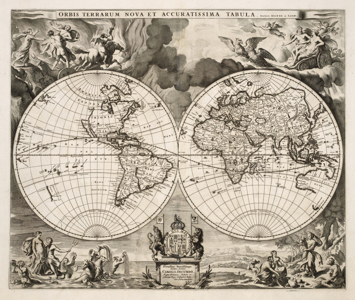
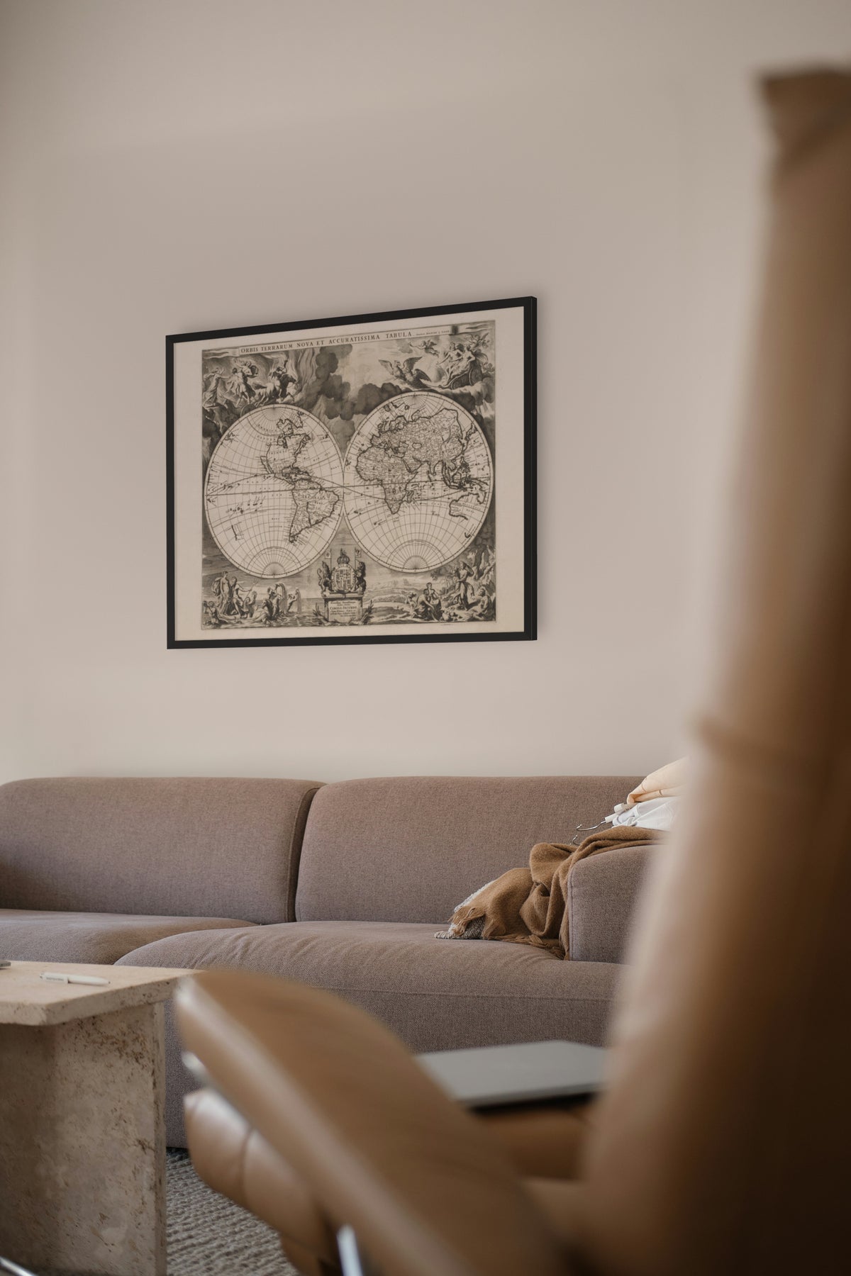
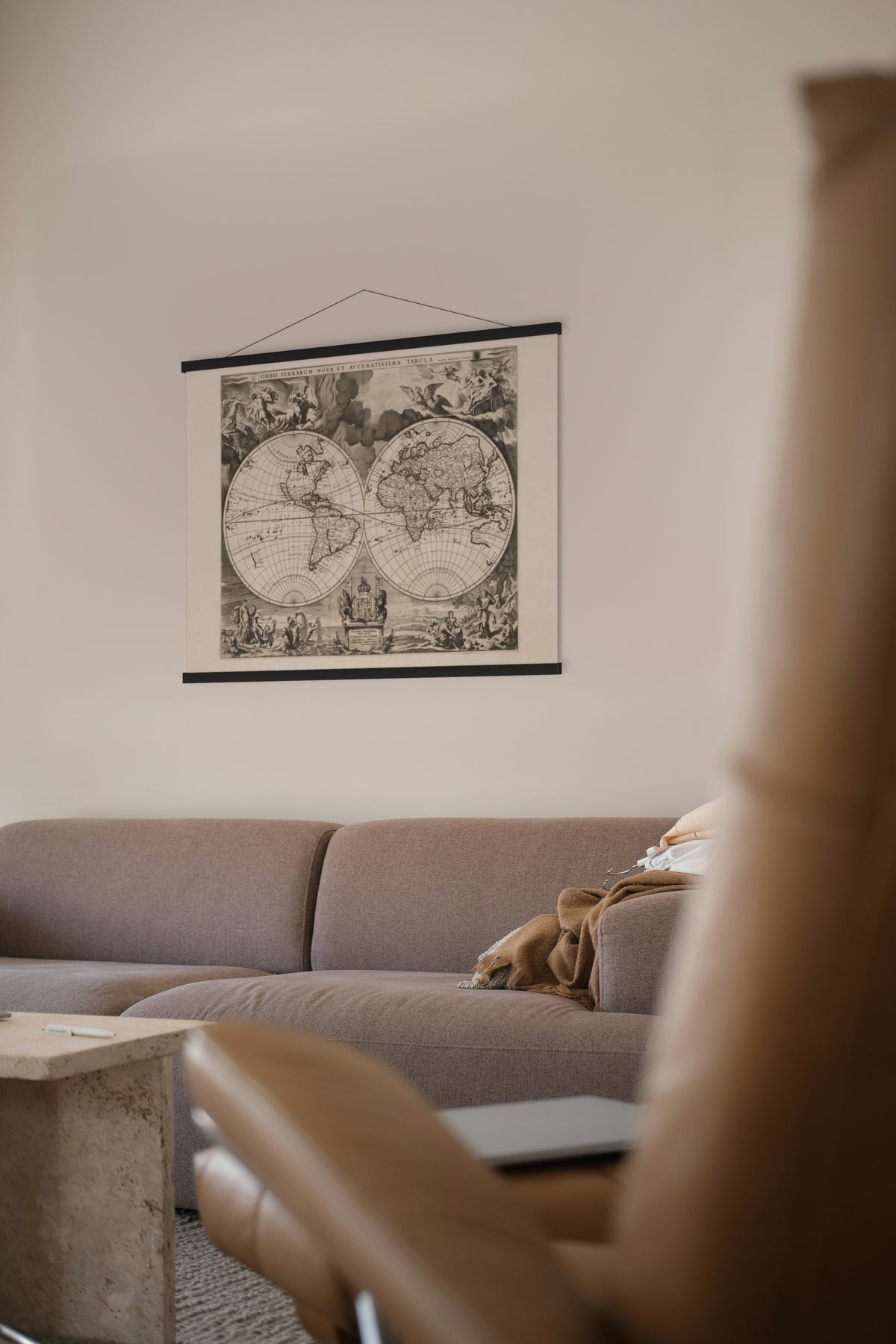
Orbis Terrarum Nova et Accuratissima Tabula — Joannes van Loon, the plate used for Moses Pitt's English Atlas, c. 1680.
An uncoloured double-hemisphere engraving — the world in line alone.
Joannes van Loon (c. 1611–1686) worked in Amsterdam, where this plate was made. In 1680 Europe's picture of Australia still rested on Dutch voyages, above all Abel Tasman's of 1642–44, which reached Van Diemen's Land and New Zealand and then followed Australia's north coast round the Gulf of Carpentaria and down the west coast. The limits of the east coast remained unknown until James Cook charted it in 1770.
The plate was used for the world map in the first volume of Moses Pitt's English Atlas, printed at Oxford in 1680. Backed by the Royal Society, and by Christopher Wren in particular, the atlas was planned in 12 volumes; only four appeared, and the project left Pitt bankrupt and in a debtors' prison.
Original held by the Huntington Library, San Marino, California. Restored by Limner from the library's scan; nothing redrawn.
Look closer
-

The abduction of Persephone
The myth behind the seasons: Hades carries off Persephone, and her mother Demeter, goddess of the harvest, lets the earth go barren until she returns.
-

Arms of Charles II
A Dutch map paying court to England's king. The dedication is to Charles II, and his shield carries his three kingdoms, England (still quartered with France), Scotland and Ireland, held by England's lion and Scotland's unicorn, joined since James VI of Scotland took the English throne in 1603. The flags above carry the rose and the thistle.