


About this print
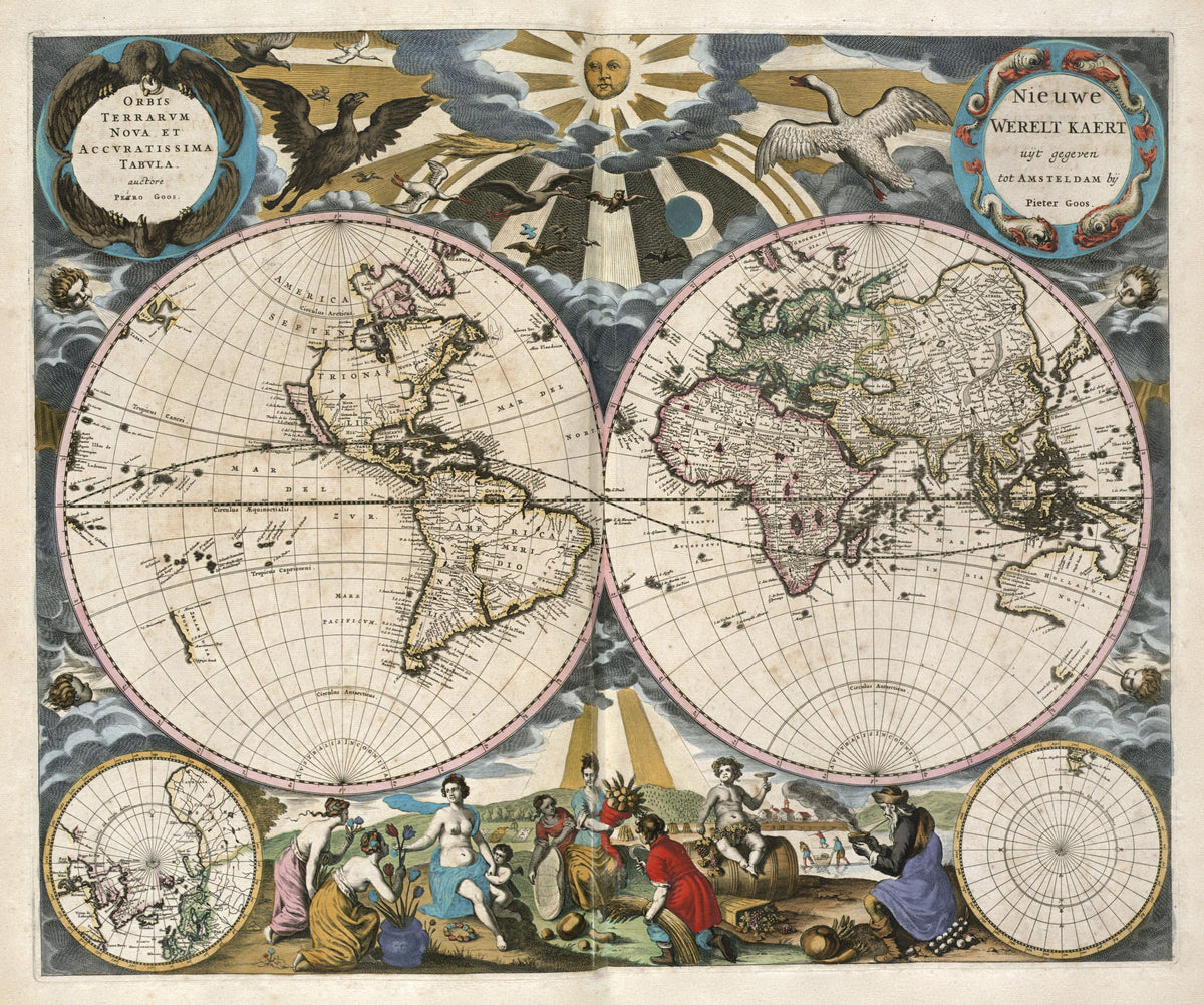
Orbis Terrarum Nova et Accuratissima Tabula (Nieuwe Werelt Kaert) — Pieter Goos, Amsterdam, c. 1672.
A hand-coloured double hemisphere from Goos's sea atlas, with wind heads round the spheres and the seasons gathered along the foot of the sheet.
Pieter Goos (1616–1675) was an Amsterdam cartographer, engraver, publisher and bookseller, the son of the map seller Abraham Goos. He began with pilot books for seamen and moved on to sea atlases. By the 1660s Abel Tasman's voyages of 1642–44 had added Van Diemen's Land, part of New Zealand and much of Australia's north and west coasts to Dutch charts; the east coast was still unknown.
The map comes from Goos's Zee-Atlas ofte Water-Weereld (Sea Atlas or Water-World), first published in Amsterdam in 1666; at least one of his atlases was later issued by his widow. The State Library of New South Wales suggests Goos may also have engraved Claes Jansz Visscher's world map of 1652.
Original held by the Norman B. Leventhal Map & Education Center, Boston Public Library. Restored by Limner from the library's scan; nothing redrawn.