


About this print
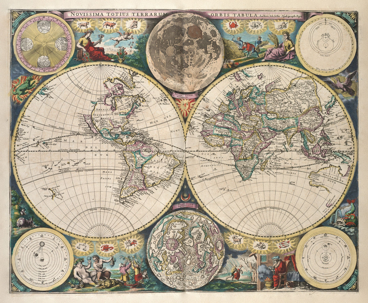
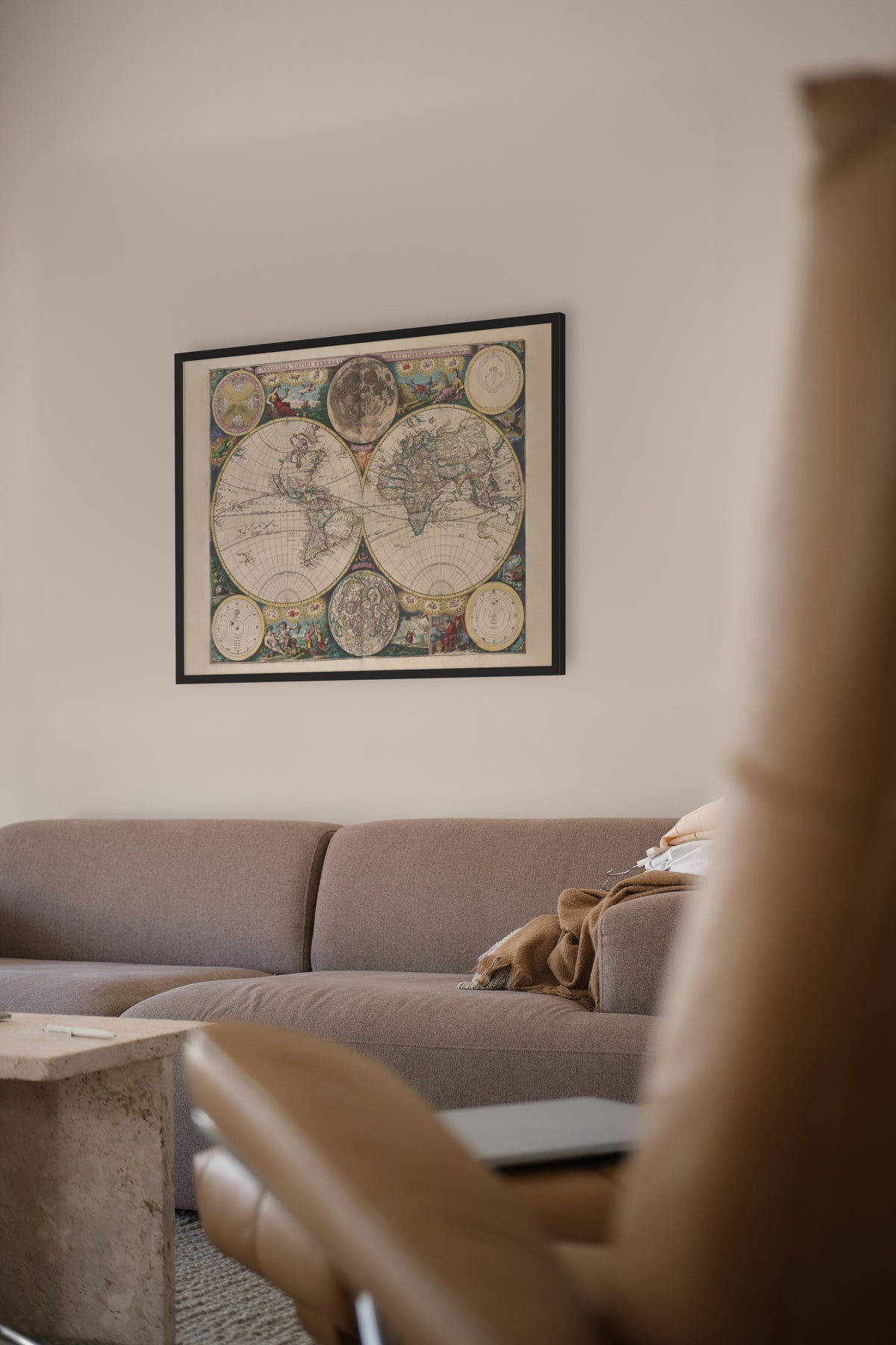
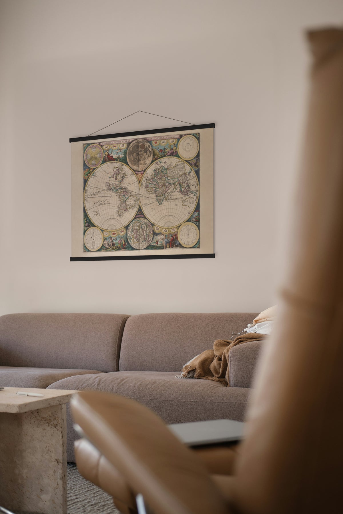
Novissima Totius Terrarum Orbis Tabula — John Seller, London, c. 1675.
An English sea-atlas world map: twin hemispheres among the signs of the zodiac, with the Ptolemaic, Tychonic and Copernican systems diagrammed around them.
John Seller (1632–1697) was a London chartmaker who was tried for high treason in 1662 and later pardoned. In March 1671 he was appointed Hydrographer to the King, and that year he published the first volume of The English Pilot, charts with sailing directions. The chart trade had until then been dominated by the Dutch, and many of Seller's charts were printed from Dutch plates under new English titles.
This map appears in Atlas Maritimus, the sea atlas Seller published in 1675, and the National Maritime Museum notes that its geography is largely from Dutch sources. Of its two moon maps, one is based on the moon map of the Danzig astronomer Johannes Hevelius, which Seller reissued in the 1670s; the other is conjectural.
Original held by the Norman B. Leventhal Map & Education Center, Boston Public Library. Restored by Limner from the library's scan; nothing redrawn.
Look closer
-

Two moons
Two moons: one as the eye sees it, "Phasis Lunae Naturalis", and one mapped like a country, "Phasis Lunae Artificialis". Galileo had first turned a telescope on the moon only about 60 years earlier.
-

California as an island
California as an island, more than 130 years after Francisco de Ulloa sailed to the head of the Gulf of California in 1539 and found it closed.