


About this print
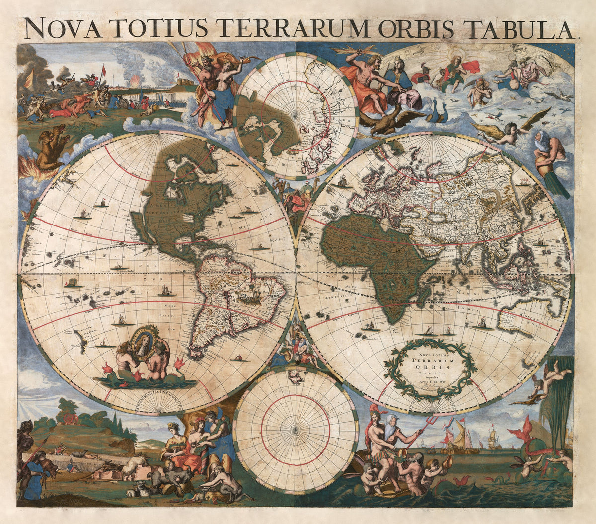
Nova Totius Terrarum Orbis Tabula — Justus Danckerts, after Frederick de Wit, Amsterdam, c. 1696.
A large double-hemisphere wall map in bold original colour, with the four elements in the corners and a dedication to William III.
The Danckerts were among the leading Dutch map and atlas publishers. Cornelis Danckerts (1603–1656) founded the Amsterdam business; his son Justus (1635–1701) began its atlases in the 1680s, and Justus's sons Theodorus and Cornelis were skilled map engravers. By the 1690s Abel Tasman's voyages of 1642–44 had put Van Diemen's Land, part of New Zealand and Australia's north and west coasts on Dutch maps, but the east coast was unknown.
The map follows Frederick de Wit's world map, first issued in Amsterdam about 1660, which the National Maritime Museum describes as a reduced version of Blaeu's world map of 1648. It is dedicated to William III, stadtholder of the Dutch Republic from 1672 and king of England, Scotland and Ireland from 1689.
Restored by Limner from a scan of an original copy; nothing redrawn.