


About this print
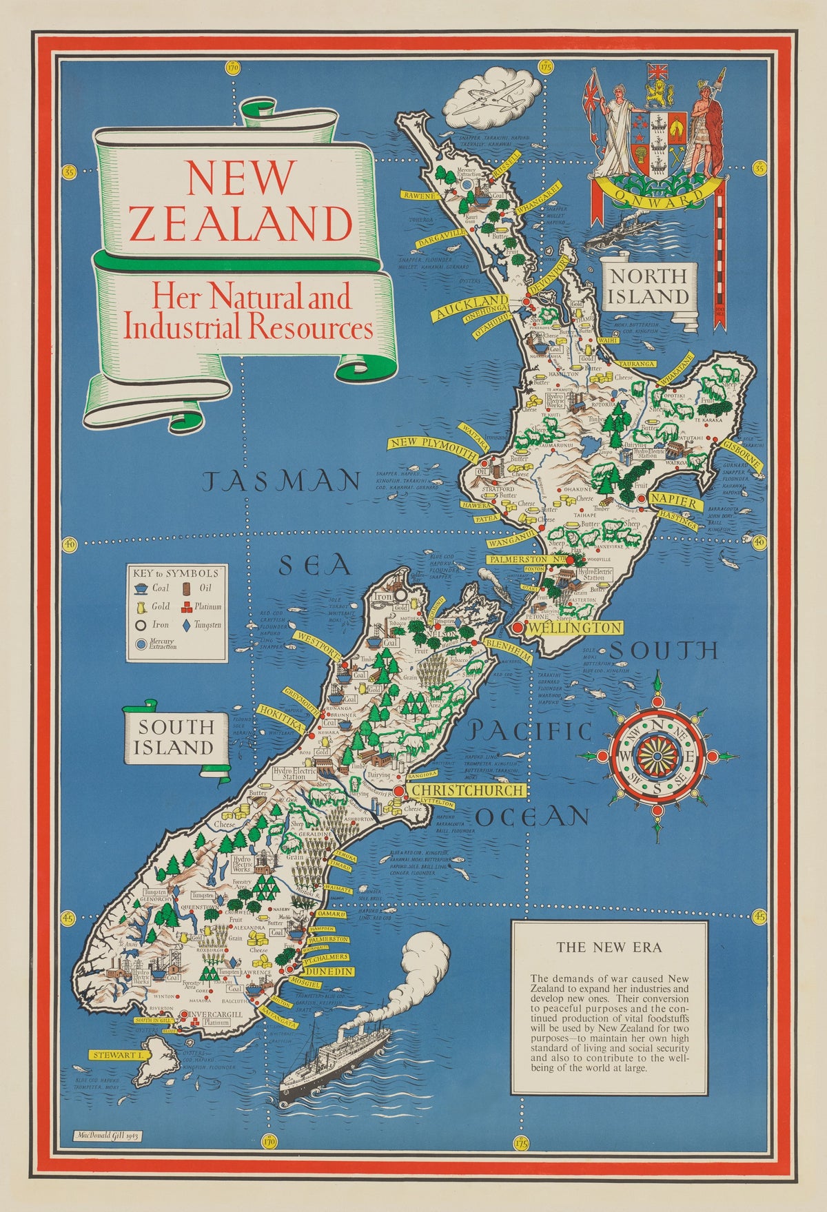
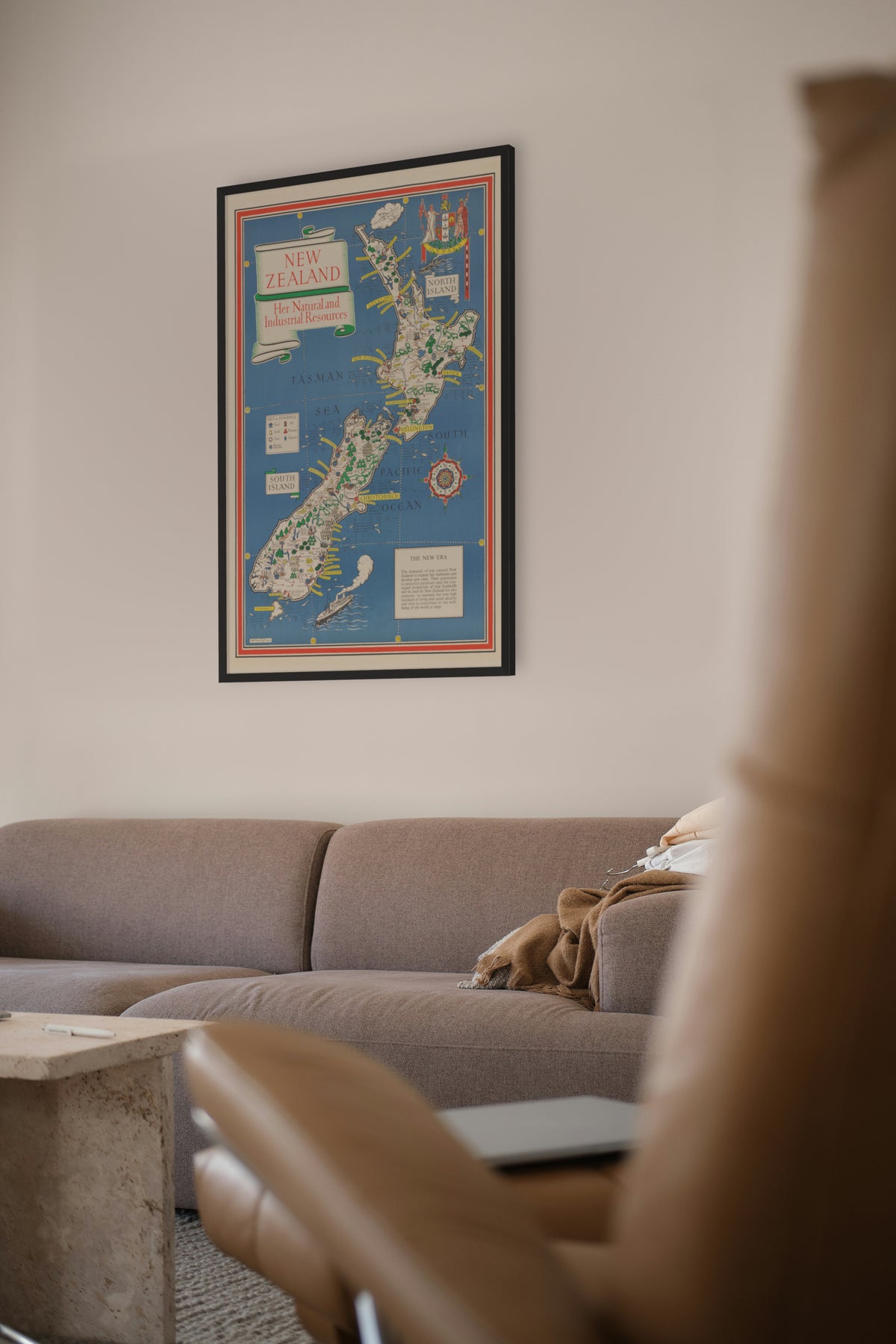
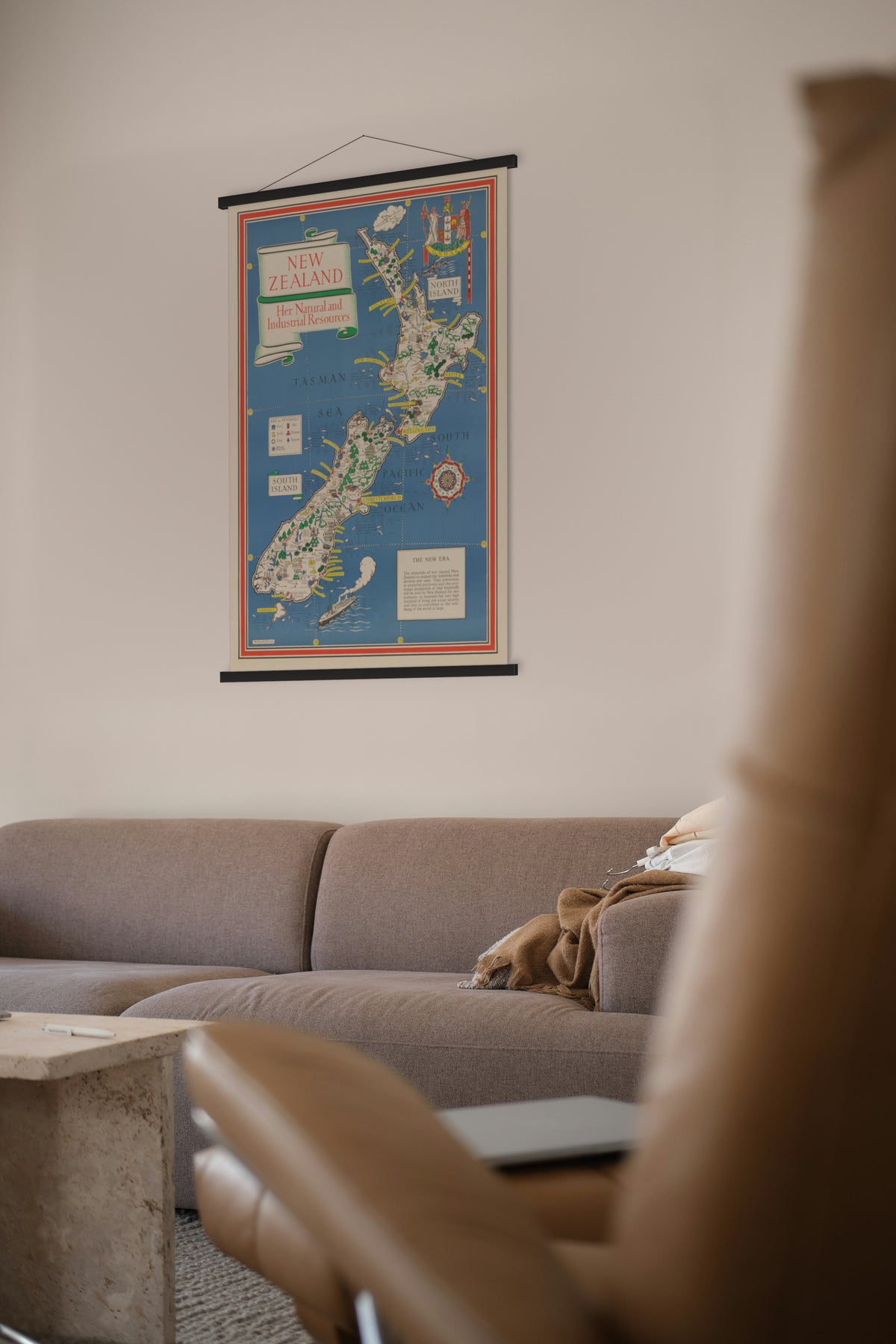
New Zealand: Her Natural and Industrial Resources, drawn by MacDonald Gill; printed for His Majesty's Stationery Office by Fosh & Cross Ltd, London, 1943.
Both islands in bright colour on a blue sea, crowded with sheep, cattle, butter, cheese, timber, coal, gold and hydro-electric stations, with the fish of each stretch of coast named offshore.
Gill drew a set of these maps for the British government during the Second World War, with companions for Australia and for Canada and Newfoundland, to show what the Commonwealth was producing. This is the version whose text panel is headed "The New Era": it says the war had made New Zealand expand her industries, and that turning them to peace would serve both her own standard of living and the world at large. New Zealand's coat of arms, with its motto "Onward", sits top right.
MacDonald Gill (1884–1947), brother of the sculptor Eric Gill, was one of the best-known commercial artists of his time. He drew the "Highways of Empire" map and the lettering used on the headstones of the Imperial War Graves Commission.
Original held by the National Library of New Zealand. Restored by Limner from the library's scan; nothing redrawn.