


About this print
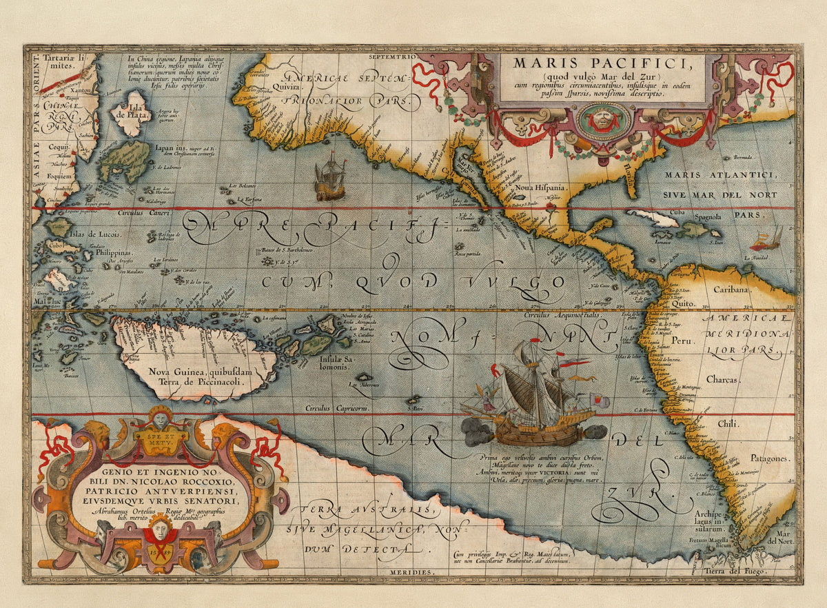
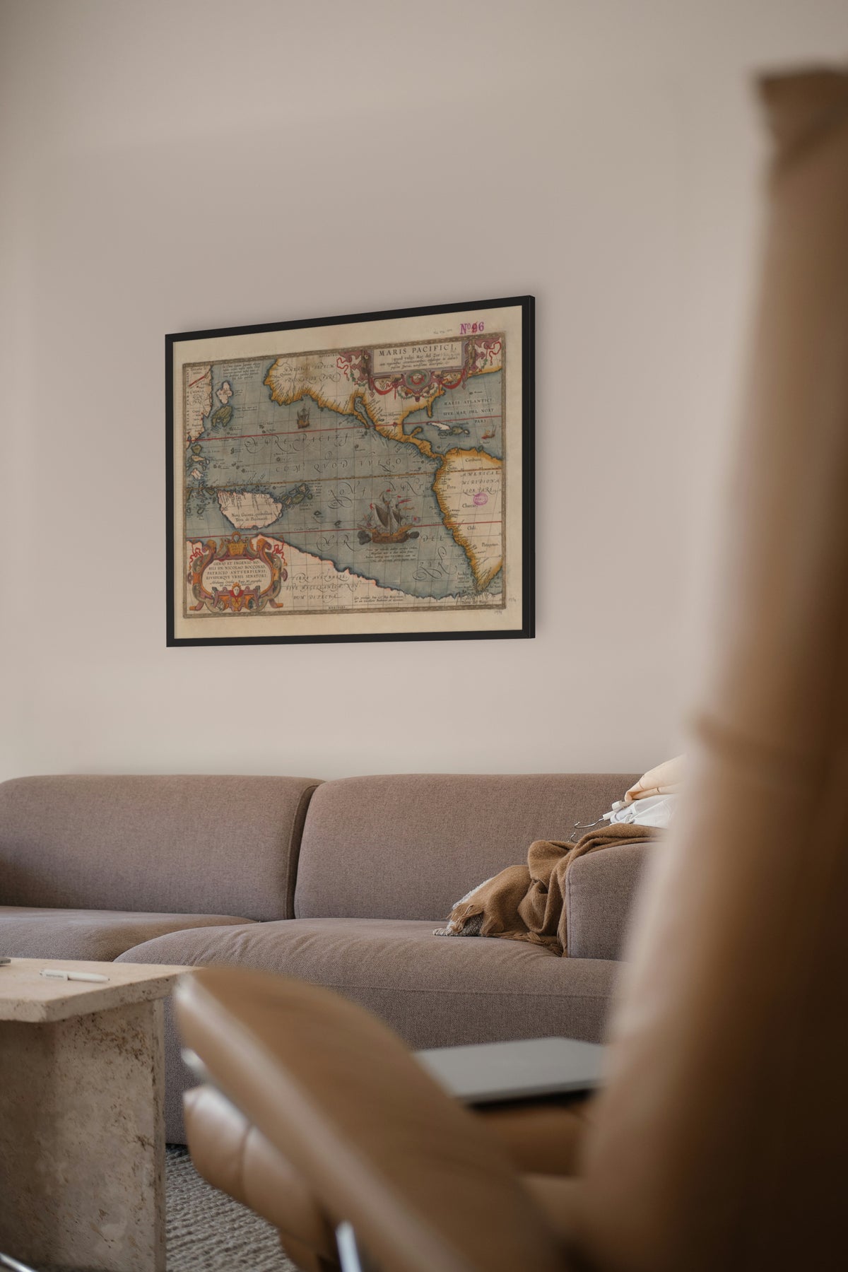
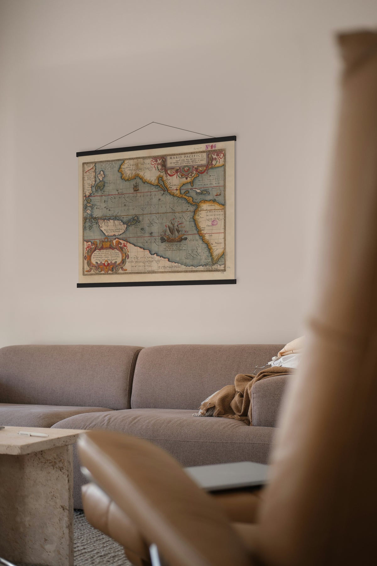
Maris Pacifici (quod vulgo Mar del Zur) — Abraham Ortelius, Antwerp, 1589.
The first printed map devoted to the Pacific, with Magellan's Victoria under sail in the middle of it.
Europeans first saw the Pacific on 25 September 1513, when Vasco Núñez de Balboa reached it across the isthmus of Panama and named it the Mar del Sur, the South Sea, the name in this map's title. Magellan's ships passed through the strait into it on 28 November 1520 and crossed to the Philippines. Magellan called it the Mar Pacífico, the peaceful sea.
Abraham Ortelius (1527–1598) of Antwerp published the Theatrum Orbis Terrarum in 1570 with 53 maps, the first modern world atlas. It went through 23 editions and translations in his lifetime and grew as he added new maps, this one among them; the 1592 edition held 134.
Original held by the Norman B. Leventhal Map & Education Center, Boston Public Library. Restored by Limner from the library's scan; nothing redrawn.
Look closer
-

Magellan's ship Victoria
The ship speaks for herself. In a Latin verse, Victoria says "I was the first to circle the world… my sails are wings, my prize is glory, my battle is the sea". She reached Spain in 1522; Magellan, killed in the Philippines, did not.
-

Japan and Isla de Plata
This printing calls Japan "recently converted to the Christian faith". In 1614 Japan's shogunate banned Christianity outright. Above it floats "Isla de Plata", an island of silver no one ever found.