


About this print
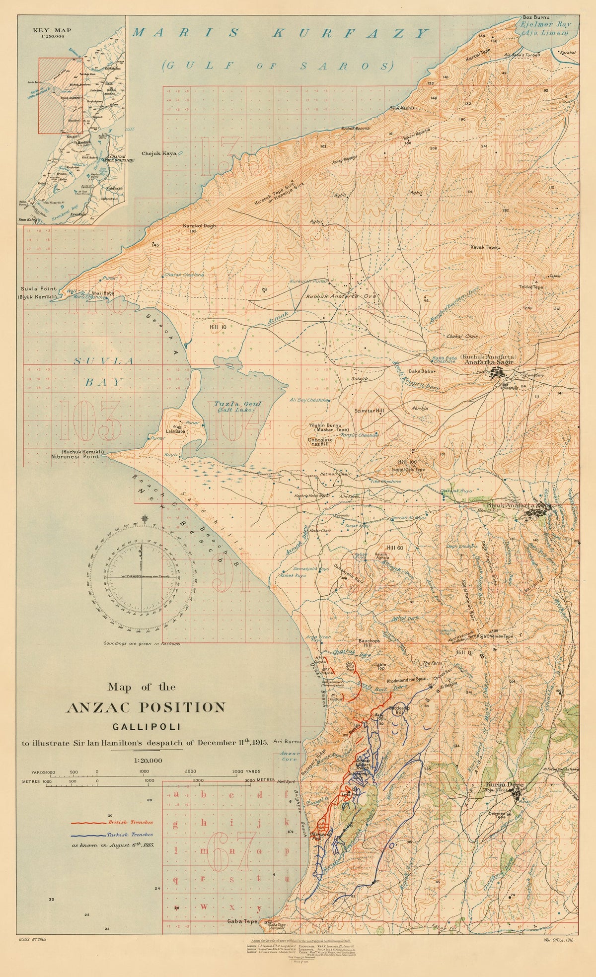
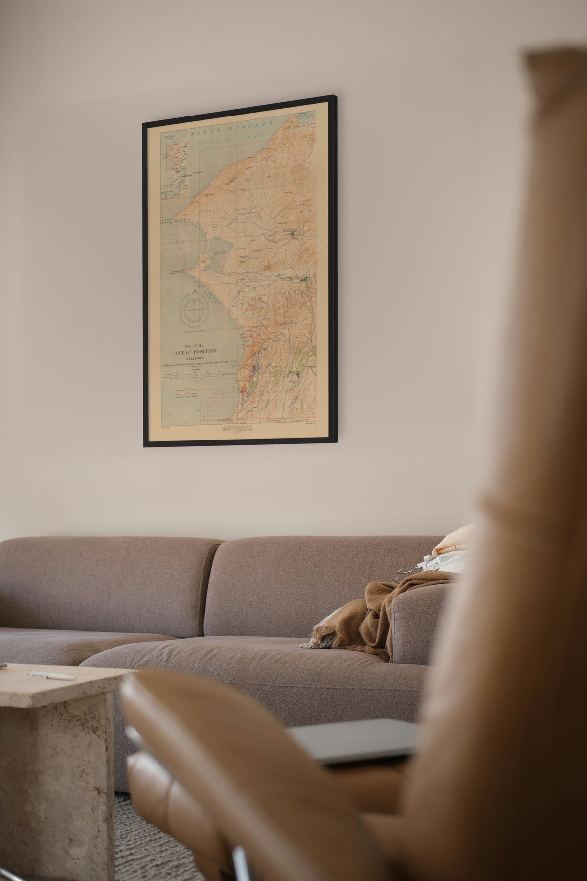
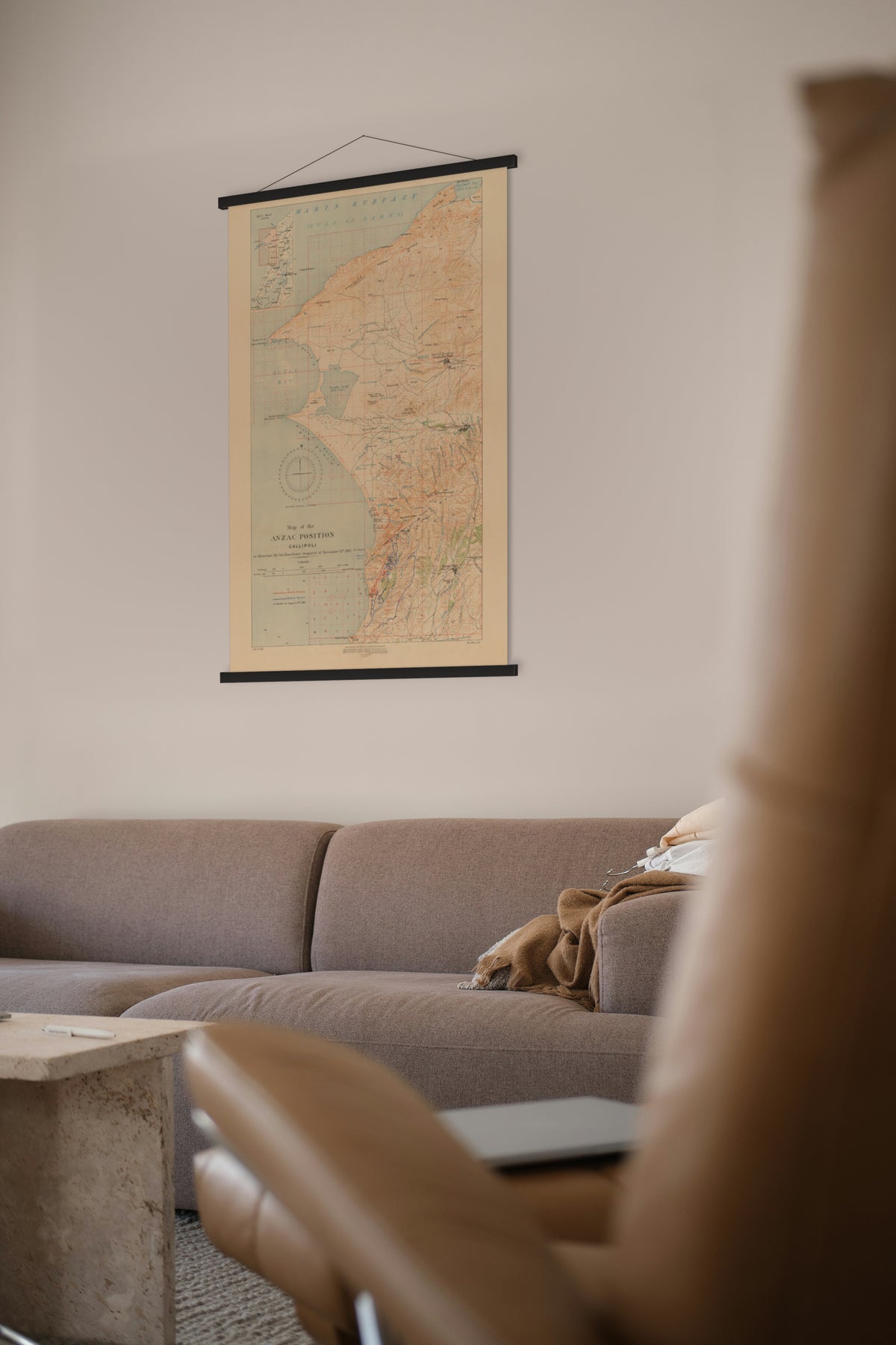
Map of the ANZAC position, Gallipoli, to illustrate Sir Ian Hamilton's despatch of December 11th, 1915 — Geographical Section, General Staff, War Office, London, 1916.
Anzac Cove and the ridges above it at 1:20,000, with the trench lines of both sides printed in red and blue.
The Anzac position was the ground the Australian and New Zealand Army Corps (ANZAC) held above Anzac Cove from the landing of 25 April 1915 until the evacuation that December. In August it was the starting point for the offensive on Chunuk Bair and Hill 971 on the Sari Bair range, meant to link with a new landing at Suvla Bay, about 8 kilometres north. The gains were few and the losses high, and stalemate returned.
General Sir Ian Hamilton, the British commander, was relieved in October 1915. His despatch of 11 December on the August fighting was printed in the London Gazette on 6 January 1916. This map was made to go with it, showing both sides' trenches as known on 6 August 1915, the eve of the offensive.
Original held by State Library Victoria. Restored by Limner from the library's scan; nothing redrawn.