


About this print
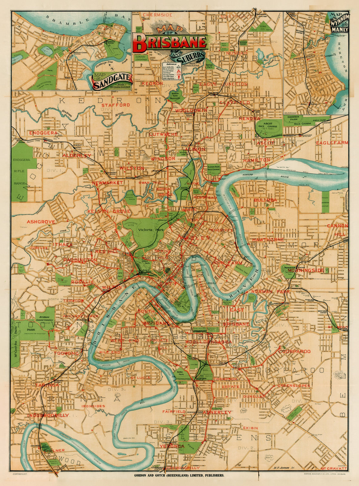
Map of Brisbane and Suburbs — Gordon & Gotch, Brisbane, c. 1920.
A street map of Brisbane between the wars, the river winding through a city of named suburbs and tramlines.
Around 1920 greater Brisbane was still run by a patchwork of separate councils and joint boards. The City of Brisbane Act 1924 merged twenty of them into one council, which took effect on 1 October 1925 with William Jolly as its first Lord Mayor. The trams changed hands too: the private Brisbane Tramways Company ran them until a public trust took over on 1 January 1923.
Gordon & Gotch began in Melbourne in 1853 as news and advertising agents, selling British newspapers and periodicals, and grew into printing, publishing and stationery. Its Brisbane branch opened in 1875. A street map of the city and its suburbs was part of the same trade that put newspapers and almanacs in Queensland shops.
Original held by the National Library of Australia. Restored by Limner from the library's scan; nothing redrawn.