


About this print
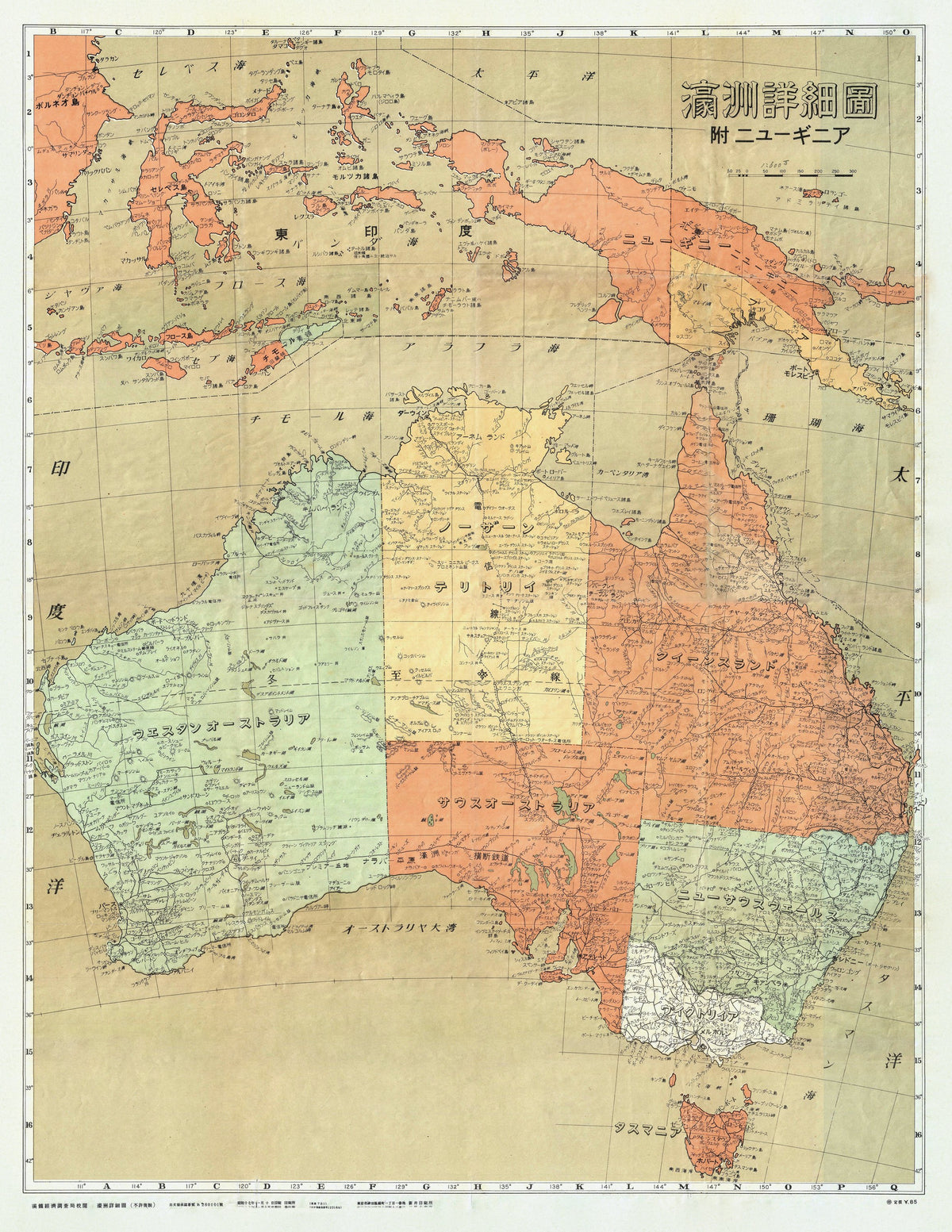
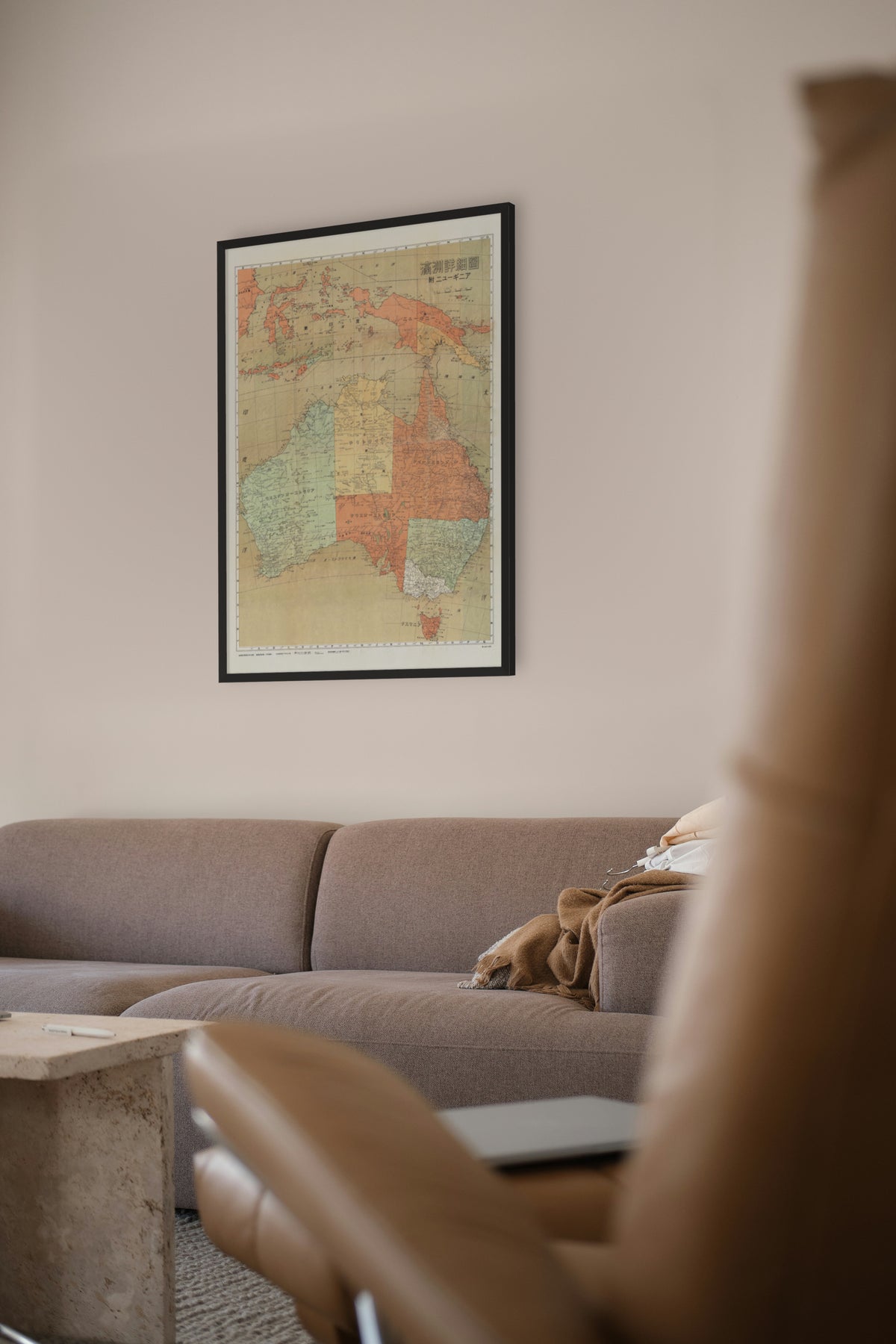
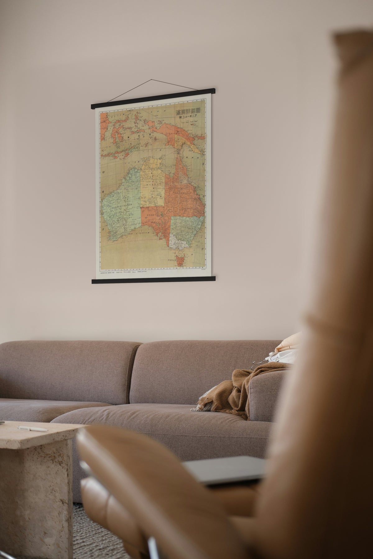
Japanese Map of Australia and New Guinea — Economy Research Bureau, South Manchuria Railway Company, 1942 (Shōwa 17).
Australia, Tasmania, New Guinea and the eastern islands of the Indies, mapped for a Japanese readership in the first year of the Pacific war.
The map was made in the first year of the Pacific War. By March 1942 Japanese forces had taken Singapore, the Dutch East Indies and Rabaul, landed at Lae and Salamaua in New Guinea, and bombed Darwin. In Tokyo the navy proposed invading northern Australia; the army refused, and in March Imperial Headquarters chose instead to cut Australia off from the United States by taking Port Moresby, Fiji, Samoa and New Caledonia.
It was compiled by the Economy Research Bureau of the South Manchuria Railway Company, the Japanese state-backed railway and research concern in Manchuria, whose research arm worked closely with the army there. After 1945 the company's Tokyo research library passed to the Library of Congress, which holds about 6,000 of its publications, maps among them.
Restored by Limner from a scan of an original copy; nothing redrawn.