


About this print
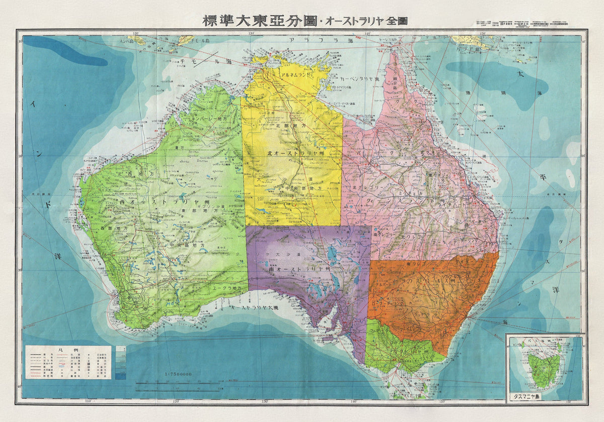
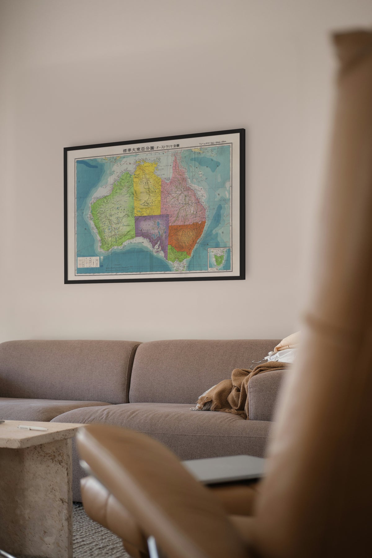
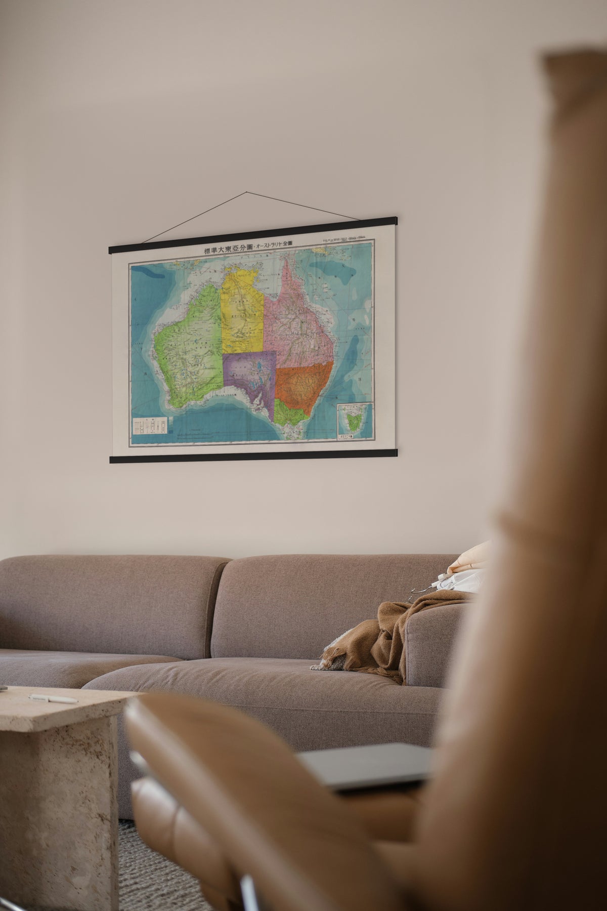
Series of Great East Asia Maps: All of Australia (標準大東亞分圖 — オーストラリア全圖) — Tokyo, 1943 (Shōwa 18).
A wartime Japanese map of the whole continent — Australia as the other side saw it.
This sheet belongs to the Standard Atlas of Greater East Asia (Hyōjun Dai Tōa bunzu), a set of twenty maps issued in 1943. Its title echoes the Greater East Asia Co-Prosperity Sphere, the Japanese-led bloc Foreign Minister Matsuoka Yōsuke announced in August 1940, which by 1942 Japan had extended by conquest from Manchuria to the Dutch East Indies. The set also mapped lands beyond it, among them Australia, Hawaii and India.
It is dated Shōwa 18 (1943), the year Japan's advance in the South-West Pacific stopped: its forces were driven out of Buna and Gona in Papua in January and withdrew from Guadalcanal in February. Other sheets from the same set are held by the National Museum of Singapore.
Restored by Limner from a scan of an original copy; nothing redrawn.