


About this print
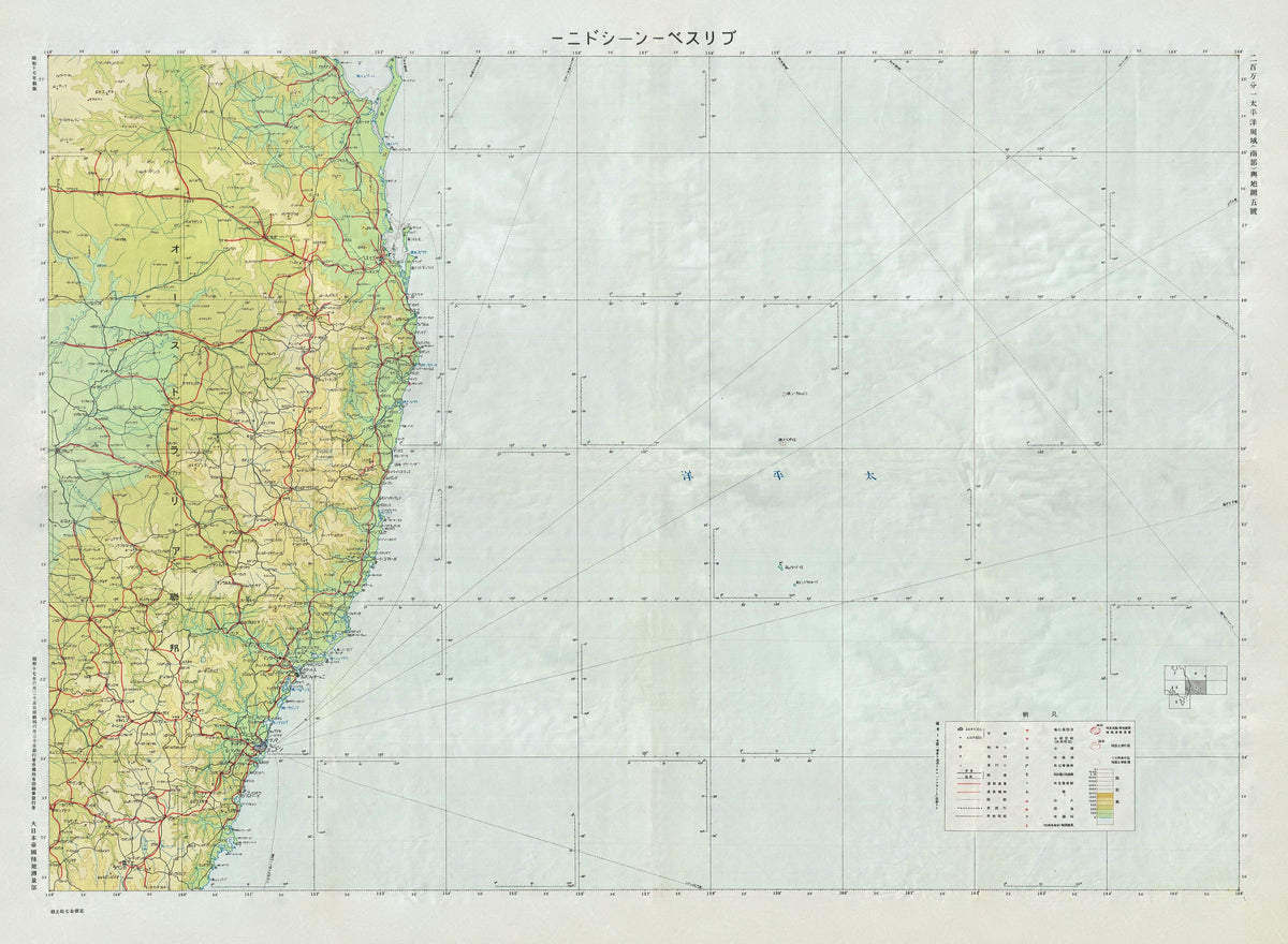
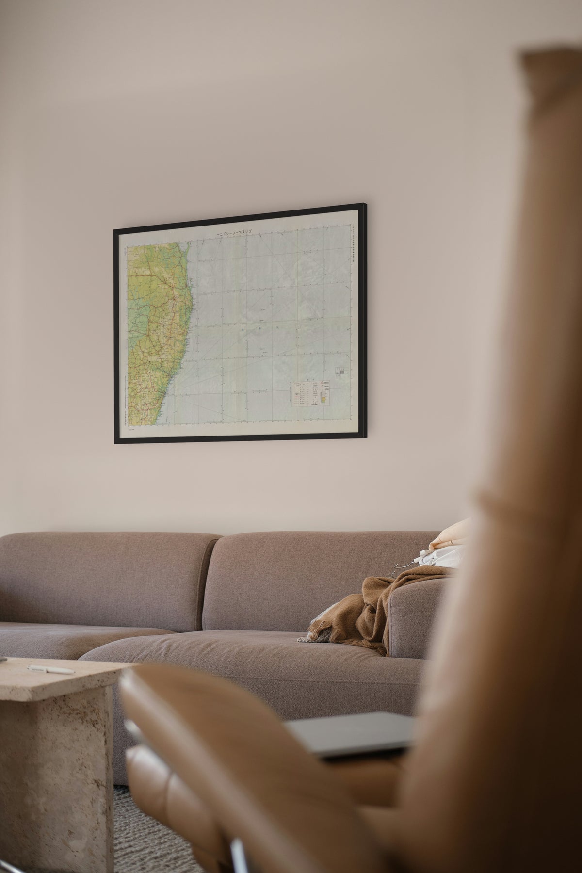
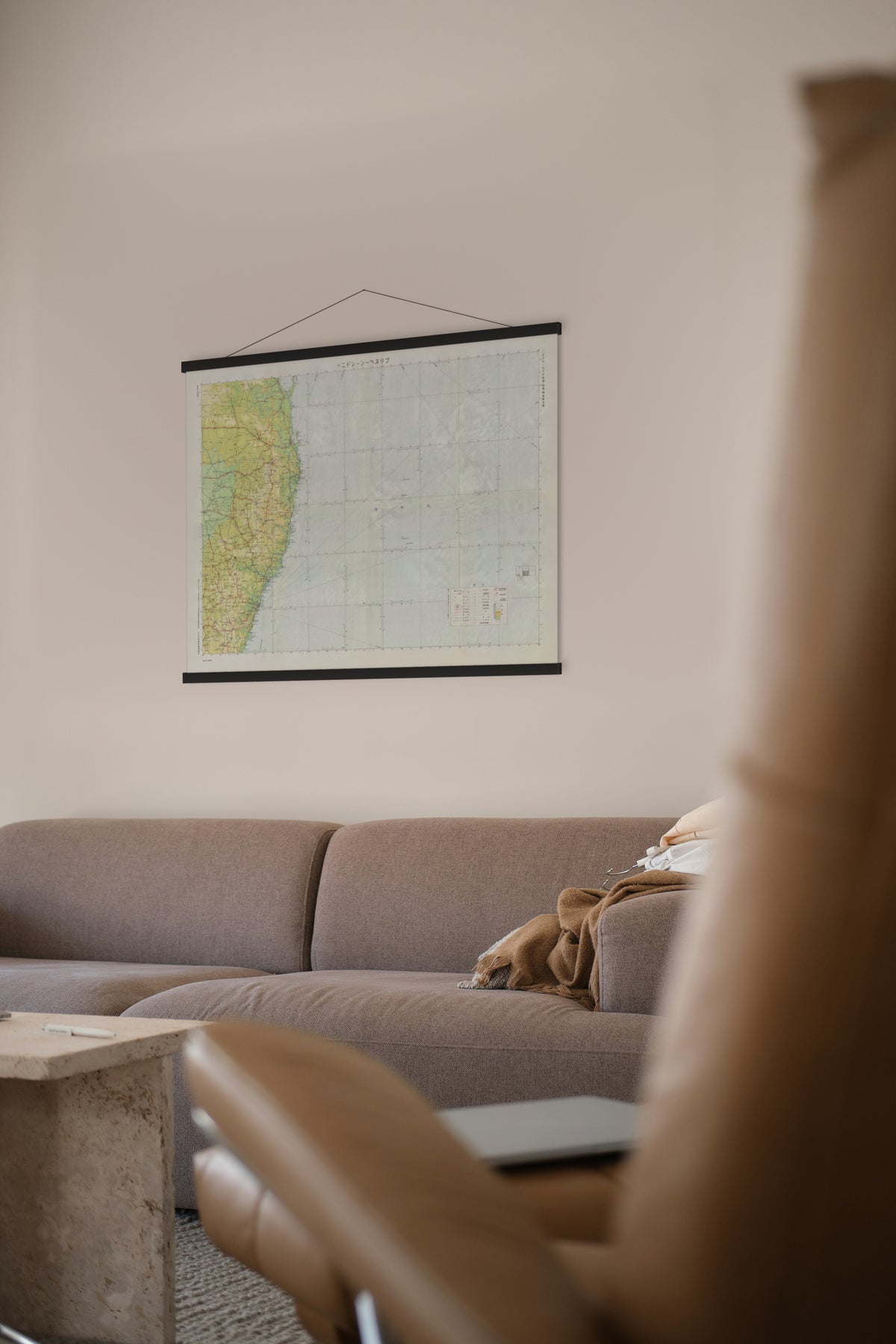
Aviation Map of Eastern Australia — Japan Army General Staff, 1942 (Shōwa 17).
The east coast from Fraser Island to Jervis Bay, with Brisbane, Sydney and Canberra marked, drawn as an aviation chart.
The Land Survey Department of the Japanese Army General Staff mapped foreign territory from the early Meiji era until 1945, drawing on Japanese survey teams, secret surveys and reproductions of maps produced abroad. Its maps, known as gaihōzu, 'maps of outer lands', covered an area reaching north to Alaska, east to the Isthmus of Panama, west to eastern Africa and south to Australia.
This aviation sheet was issued by the General Staff in Shōwa 17 (1942). That year Japanese aircraft bombed Darwin on 19 February and went on raiding northern Australia into late 1943, but never reached the east coast this sheet covers. The plan to isolate Australia instead of invading it ended after defeats at the Coral Sea in May and Midway in June; the attack on Fiji, Samoa and New Caledonia was cancelled on 11 July.
Restored by Limner from a scan of an original copy; nothing redrawn.