


About this print
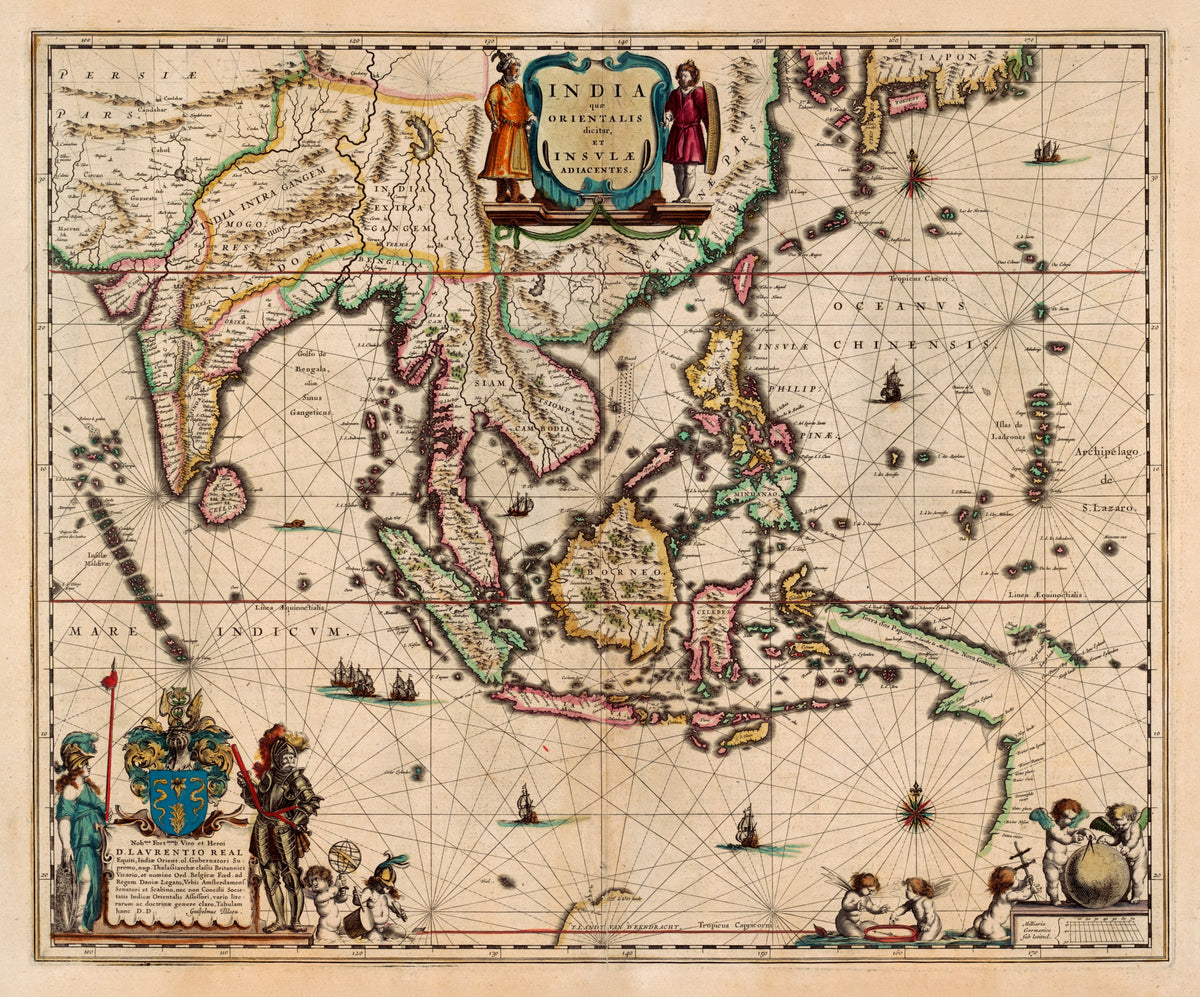
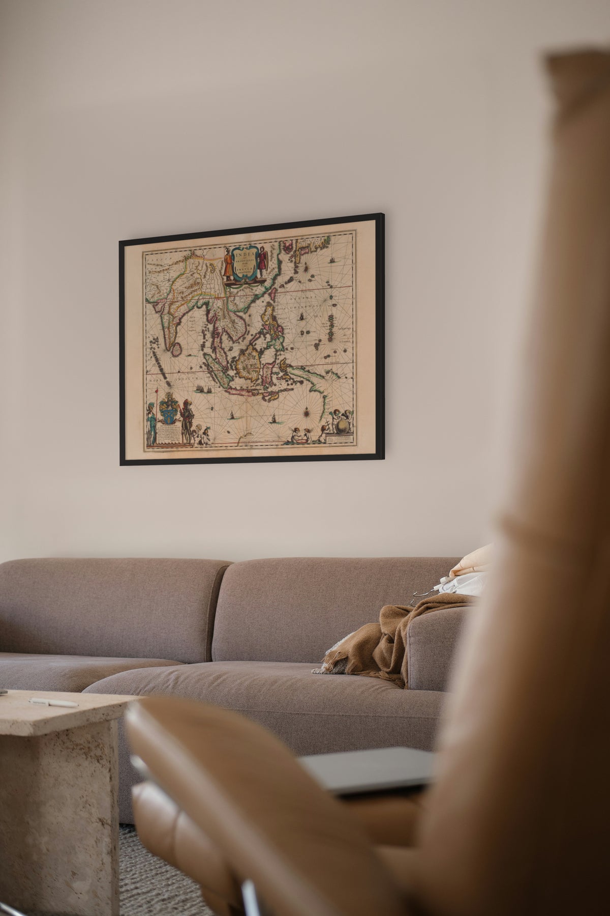
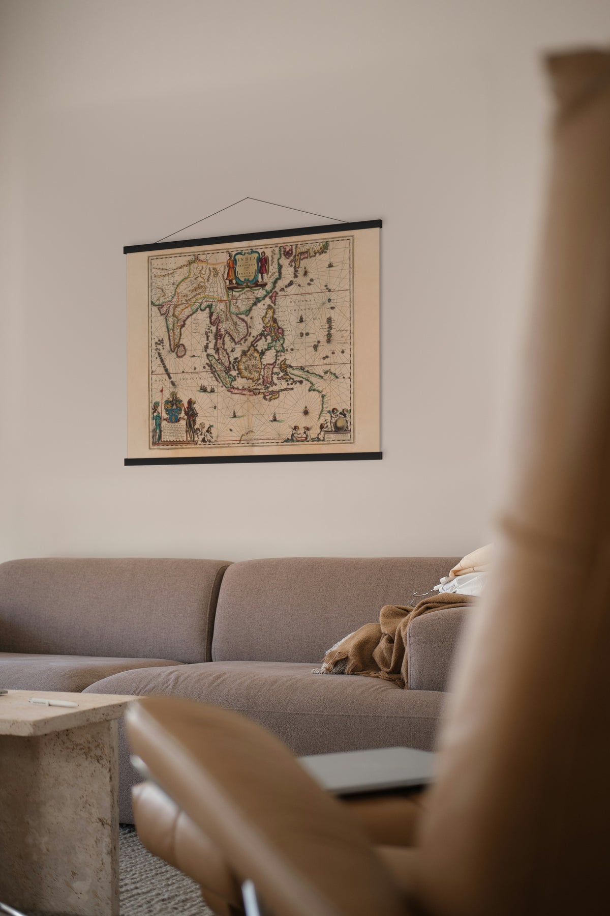
India quae Orientalis dicitur, et Insulae Adiacentes — Willem and Joan Blaeu, Amsterdam, c. 1635 (this impression from the Atlas Maior, 1667).
The East Indies and South-East Asia from India to the Philippines, with the north coast of Australia appearing as a bare line at the foot of the sheet.
The Dutch East India Company, formed in 1602 by merging rival Dutch firms, held a monopoly of Dutch sea trade with Asia and could wage war, make treaties and found colonies. Its headquarters was Batavia on Java, established by Governor-General Jan Pieterszoon Coen, and its trade was in cloves, nutmeg, mace, cinnamon and pepper, then scarce and highly valued in Europe.
Willem Blaeu was appointed map-maker to the company in 1633, shortly before this map was first issued. This impression comes from his son Joan's Atlas Maior, first published in 1662: 594 maps in eleven Latin volumes, the largest and most expensive book published in the seventeenth century.
Original held by the British Library. Restored by Limner from the library's scan; nothing redrawn.
Look closer
-

Korea as an island
Korea as an island, "Corea insula", because Europeans had yet to chart its coast. The Dutch learnt more after Hendrick Hamel's ship was wrecked there in 1653.
-

Early Dutch Australia
Australia as the Dutch knew it in 1635: a few rivers on Cape York named by Jan Carstensz in 1623. "Staten rivier" is still the Staten River today. Cook would not reach the east coast for another 135 years.
-

Laurens Reael's arms
Blaeu dedicated the map to Laurens Reael, governor-general of the Dutch East Indies from 1616 to 1619, knighted by Charles I in 1626 and a member of the East India Company's Amsterdam board. These are his arms: a garden lily between two snakes on blue, under a crest of entwined snakes rising to a flower between wings.