


About this print
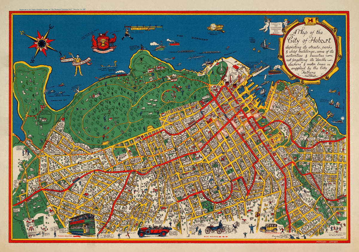
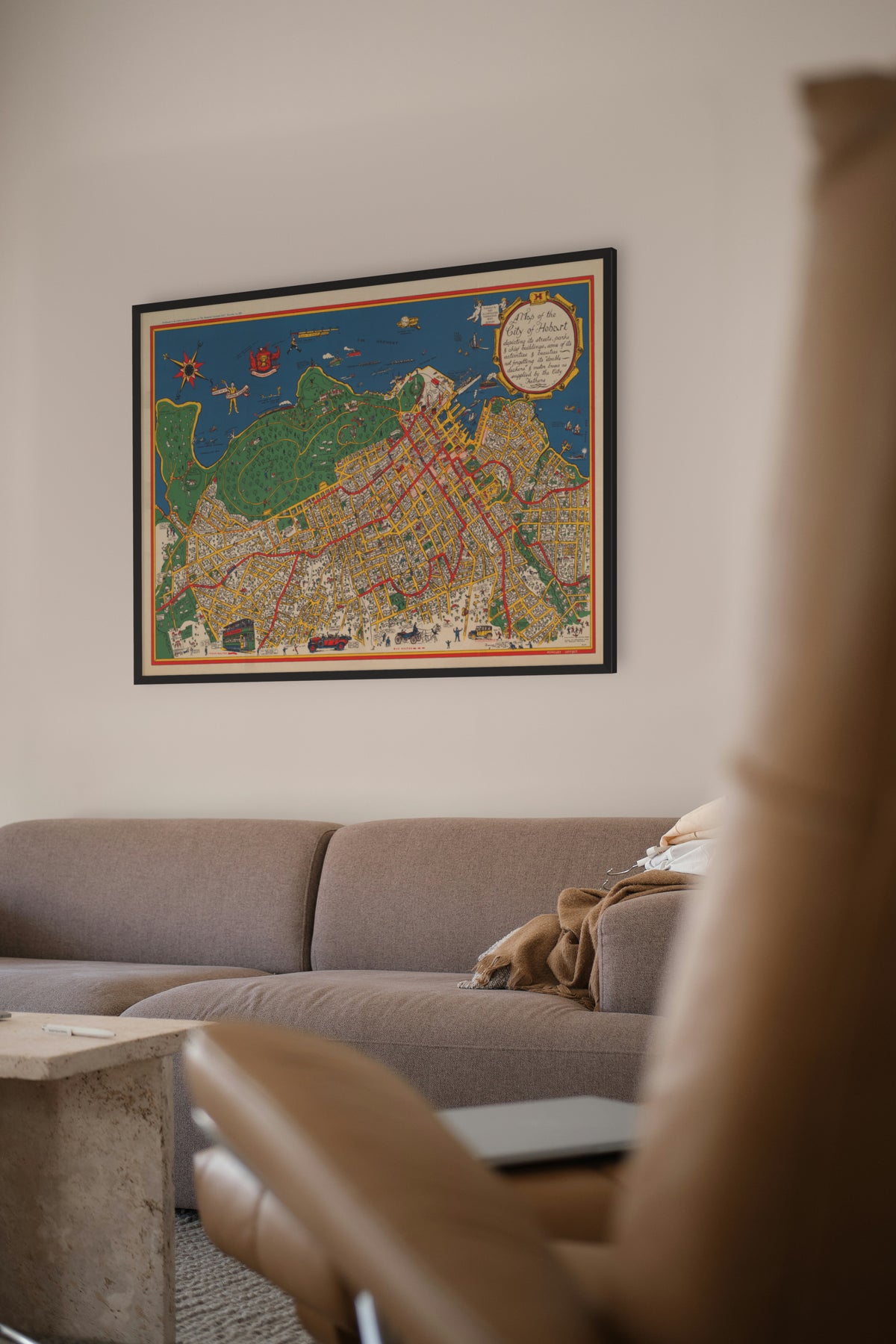
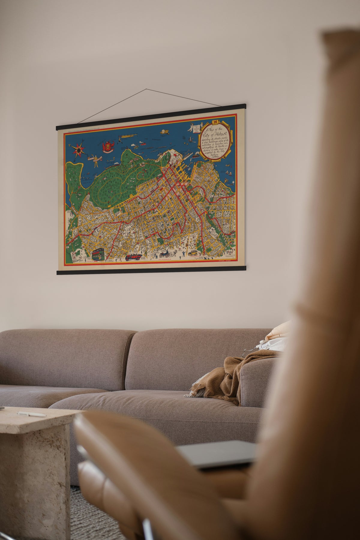
Pictorial Map of Hobart — The Illustrated Tasmanian Mail, 1927.
The city drawn building by building, with the Derwent and its shipping in front.
Hobart dates from 1804, when Lieutenant-Governor David Collins moved his new penal settlement from Risdon Cove to Sullivans Cove on the Derwent. That makes it Australia's second-oldest capital, after Sydney. Its deep-water harbour made it for a time the main whaling port of the Southern Ocean, and it became a city in 1842, beneath kunanyi / Mount Wellington.
The map was issued by The Illustrated Tasmanian Mail, the Hobart weekly published by Davies Brothers, owners of The Mercury. The paper began as the Tasmanian Mail in July 1877, took its illustrated title in 1921, and ran until June 1935, when it was absorbed into The Mercury.
Original held by the National Library of Australia. Restored by Limner from the library's scan; nothing redrawn.
Look closer
-

Room for more shadows
A Latin joke on a tourist map. Horace's "Locus est et pluribus umbris" means "there is room for more shadows", and his "shadows" are the uninvited friends a guest brings along. Hobart is telling visitors to bring theirs.
-

Hobart's arms
Hobart had no official arms in 1927. The council had used an unofficial crest since the 1850s, with an emu and a kangaroo beside the shield and the motto "Sic fortis Hobartia crevit", "thus in strength did Hobart grow"; the formal grant came only in 1953. The cartoonist has someone heckle a supporter: "You're a mainlander!"