



About this print
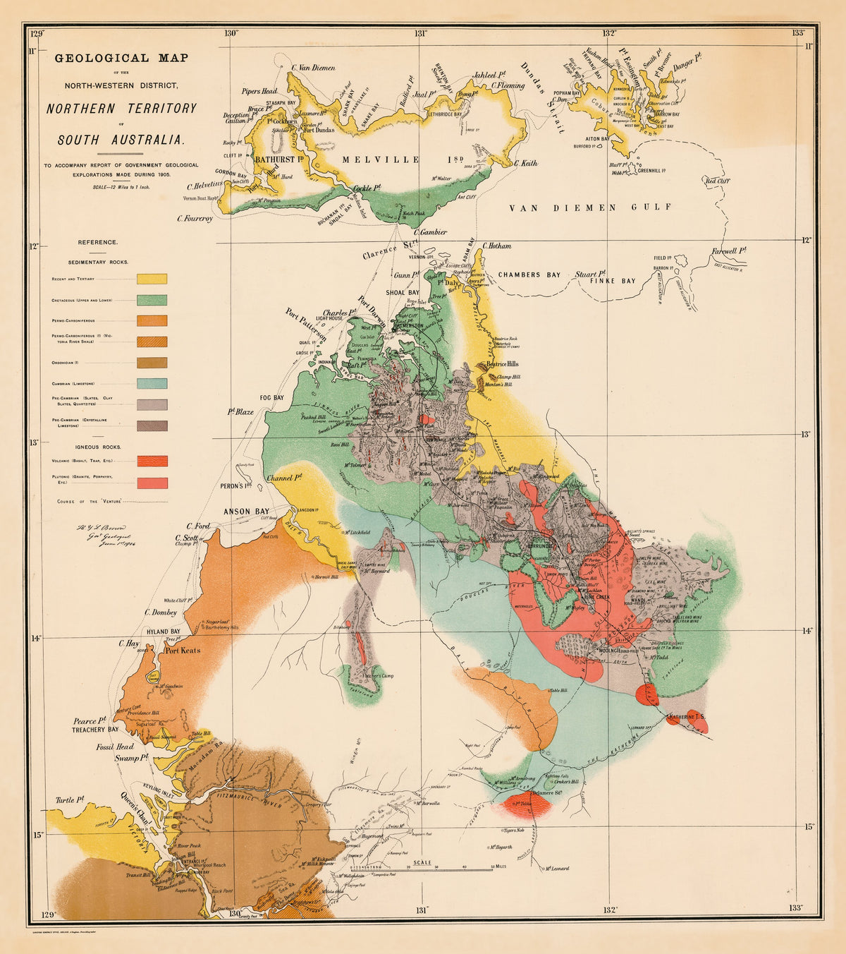
Geological Map of the North-Western District, Northern Territory of South Australia — Government Geologist, Adelaide, 1906.
Darwin and its hinterland in bands of hand-tinted colour, from the years when the Territory was still run from Adelaide.
South Australia took control of the Northern Territory in 1863. Its Surveyor-General, George Goyder, founded the settlement at Port Darwin in February 1869; it was named Palmerston, and became Darwin only in 1911. Gold found near Pine Creek by Overland Telegraph workers drew miners, many of them Chinese, but the Territory cost South Australia heavily for little return, and passed to the Commonwealth on 1 January 1911.
In 1905 South Australia's Government Geologist, H. Y. L. Brown, spent just over seven months in the Top End with mines inspector Lionel Gee and Herbert Basedow, working the western coast, Melville and Bathurst islands and inland to Bradshaw station near the Victoria River. Basedow helped write the official report and its geological map.
Original held by the National Library of Australia. Restored by Limner from the library's scan; nothing redrawn.