


About this print
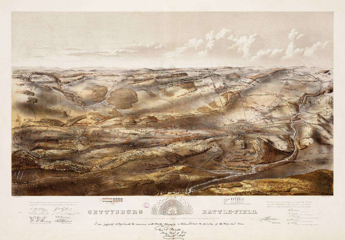
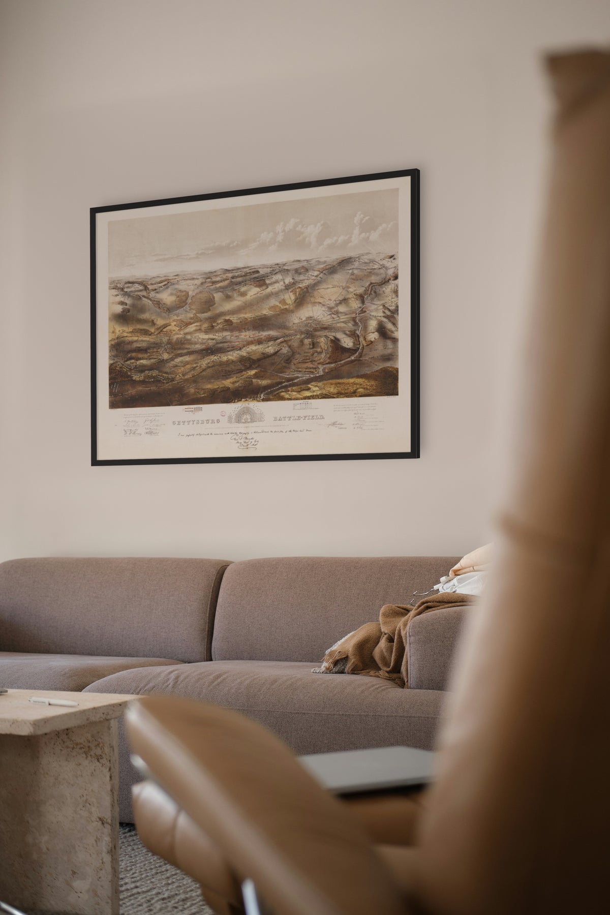
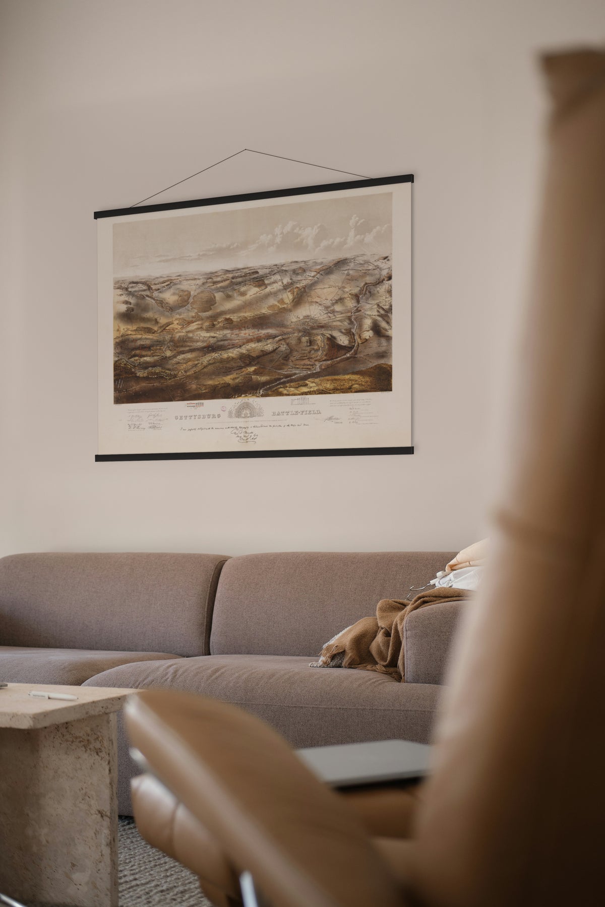
Gettysburg Battle-field — John B. Bachelder, Boston and New York, c. 1863.
An isometric view of the whole field with the positions of both armies over the three days, endorsed by General Meade. Every unit is labelled, small enough to read up close.
On 1 July 1863 the Union troops west and north of Gettysburg were driven back and rallied on Cemetery Hill. By the next dawn Meade's army held a line along Culp's Hill, Cemetery Hill and Cemetery Ridge. On 2 July Lee struck at both ends, at Little Round Top, Devil's Den, the Wheat Field and the Peach Orchard, and at Culp's Hill; on 3 July he attacked the centre. Each attack failed, and Lee withdrew to Virginia.
John B. Bachelder, a painter, reached the field before the dead were buried and stayed 84 days, interviewing wounded men of both armies to fix the place of every unit. From 1880 he was paid by Congress to write the battle's history, and it was he who conceived the 'High Water Mark of the Confederacy'.
Original held by the Norman B. Leventhal Map & Education Center, Boston Public Library. Restored by Limner from the library's scan; nothing redrawn.
Look closer
-

Eight generals' signatures
A battle map vouched for by the men who fought the battle: eight Union generals, Hancock, Howard, Sedgwick and Doubleday among them, signed that the troop positions were "arranged under our immediate direction".