


About this print
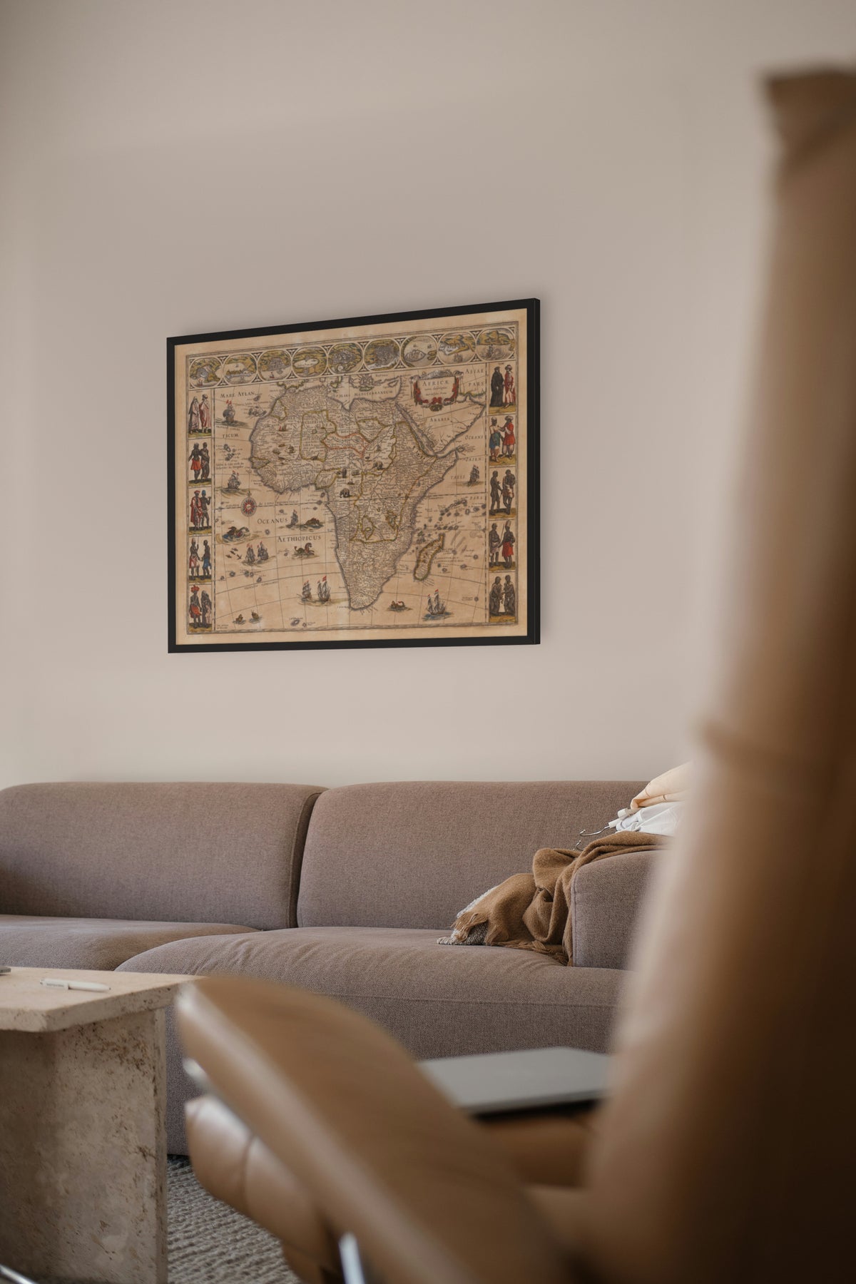
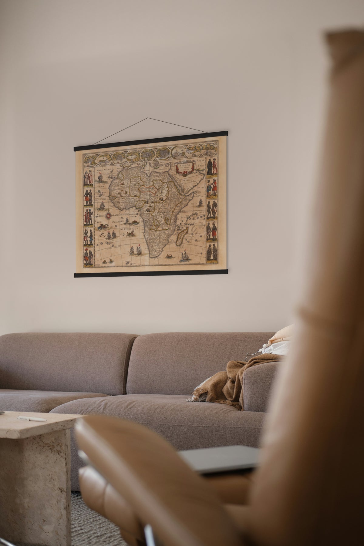
Africae Nova Descriptio — Willem Janszoon Blaeu, Amsterdam, 1630.
Blaeu's map of Africa, ringed with city views along the top and costumed figures down the sides — the Dutch Golden Age at its most decorative.
In 1630 Europeans knew Africa mainly from the sea. The Portuguese had held Elmina on the Gold Coast since 1482, the first trading post built on the Gulf of Guinea, first for gold and later as a depot for enslaved Africans; the Dutch West India Company took it from them in 1637. Inland, little was known to Europeans, and Blaeu still drew the White Nile rising in Ptolemy's lakes Zaire and Zaflan.
Willem Janszoon Blaeu (1571–1638) trained as an instrument and globe maker under the Danish astronomer Tycho Brahe. This map was first issued in 1630 and reprinted many times up to 1667, in later years in the atlases of his son Joan, including the Atlas Maior.
Original held by the Norman B. Leventhal Map & Education Center, Boston Public Library. Restored by Limner from the library's scan; nothing redrawn.
Look closer
-

Goleta, now destroyed
A map that admits it is out of date: the Tunis view still shows La Goletta, the Spanish fort the Ottomans took and razed in 1574, captioned "Goleta nunc distructa" — "Goleta, now destroyed".